While looking at maps of rural New York State, roughly 70 miles northwest of Manhattan, near the border with New Jersey, I noticed a series of small communities called “Islands.” Pine Island, Maple Island, Black Walnut Island, Pellets Island, etc.—these are tiny hamlets otherwise surrounded by dry land, well away from the sea, the Hudson, or any other large bodies of water.

It turns out these are the “drowned lands of the Wallkill,” a river with such an irregular bed, that so commonly flooded every season, that high points in the landscape would become temporary islands.
According to The History of Sussex and Warren Co., NJ by James P. Snell, it wasn’t until legislation was passed in 1807—creating wonderfully named “drowned-land commissioners”—that the region was eventually drained.

Briefly, anyone interested in liminal landscapes should find Snell’s description of the Drowned Lands, prior to their drainage, fascinating. The Wallkill itself had no real path or bed, Snell explains, the meadows it flowed through were naturally dammed at one end by glacial boulders from the Ice Age, the whole place was clogged with “rank vegetation,” malarial pestilence, and tens of thousands of eels, and, what’s more, during flood season “the entire valley from Denton to Hamburg became a lake from eight to twenty feet deep.”
The landscape is also almost literally Biblical: “On the Southwestern border of the swamp, in the town of Warwick, two lofty and isolated mountains rear their summits. They are called Adam and Eve. Formerly they swarmed with rattlesnakes, but these the inhabitants have exterminated.”
In any case, this eerie, terrestrial-aquatic borderland—reminiscent of John Langan’s novel The Fisherman—was radically redesigned following the construction of a large drainage canal and a subsequent series of dams.
But the dams were controversial, and this is where things get novelistic.

A half-century of “war” broke out among local supporters of the dams and their foes: “The dam-builders were called the ‘beavers’; the dam destroyers were known as ‘muskrats.’ The muskrat and beaver war was carried on for years,” with skirmishes always breaking out over new attempts to dam the floods.
Here’s one example, like a scene written by Victor Hugo transplanted to New York State: “A hundred farmers, on the 20th of August, 1869, marched upon the dam to destroy it. A large force of armed men guarded the dam. The farmers routed them and began the work of destruction. The ‘beavers’ then had recourse to the law; warrants were issued for the arrest of the farmers. A number of their leaders were arrested, but not before the offending dam had been demolished. The owner of the dam began to rebuild it; the farmers applied for an injunction. Judge Barnard granted it, and cited the owner of the dam to appear and show cause why the injunction should not be made perpetual. Pending a final hearing, high water came and carried away all vestige of the dam.”
And so on and so forth, dams rising and falling, lands drowning and being drained again, farmers pitted against hydrologists, for generations. You can easily imagine this as the backdrop for a historical epic, set within a day’s journey from Manhattan on the cusp of modernity, a family committed to raising land from ambiguity and murk colliding with primordial forces led by hostile neighbors dedicated to maintaining inundation.
Two visions of landscape, at war.

Today, the land is hugely fertile and apparently a great source of topsoil; it has become known as the Black Dirt Region. You can even buy Black Dirt Bourbon.
But still, these isolated hills and ridges call themselves islands, as if awaiting the return of the flood.
(All images via Google Maps. Vaguely related on BLDGBLOG: Tactical Landscaping and Terrain Deformation; readers might also enjoy David Blackbourn’s superb book, The Conquest of Nature: Water, Landscape, and the Making of Modern Germany.)
 [Image: 18th-century nautical chart by George Gauld, via
  [Image: From
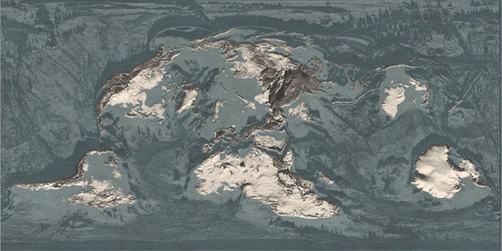
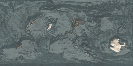
 [Images: From
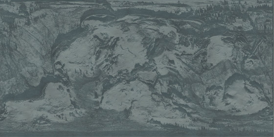
  [Image: From
 [Images: From
  [Image: “
 [Image: From
  [Image: From
  [Image: From
 [Images: From
 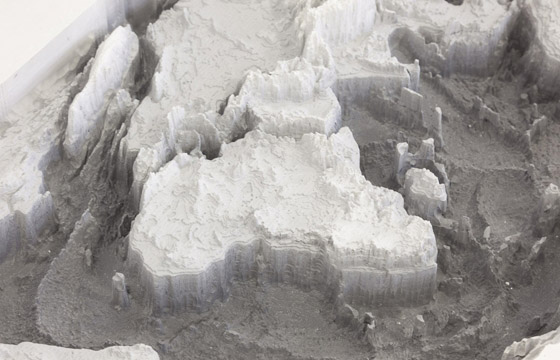 [Image: From
 [Images: From
 [Image: Comet 67P, via
 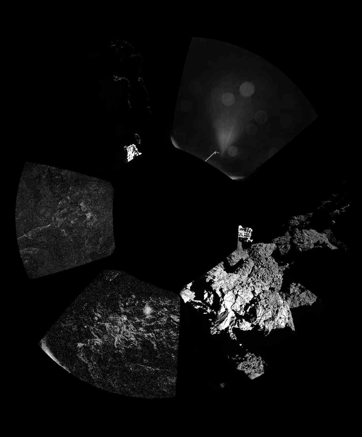 [Image: Comet 67P, via
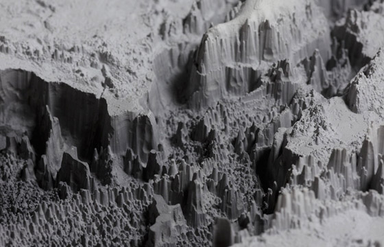
  [Image: The irregular terrain of Comet 67P, via
  [Image: Comet 67P, via
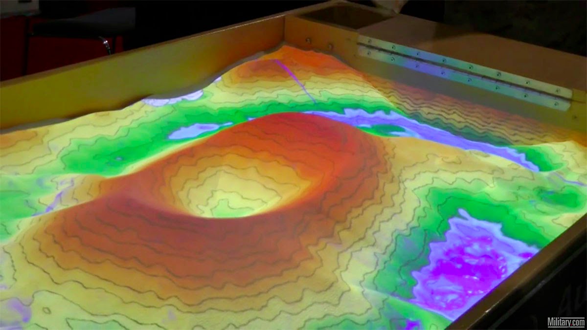
 [Image: Screen grab via
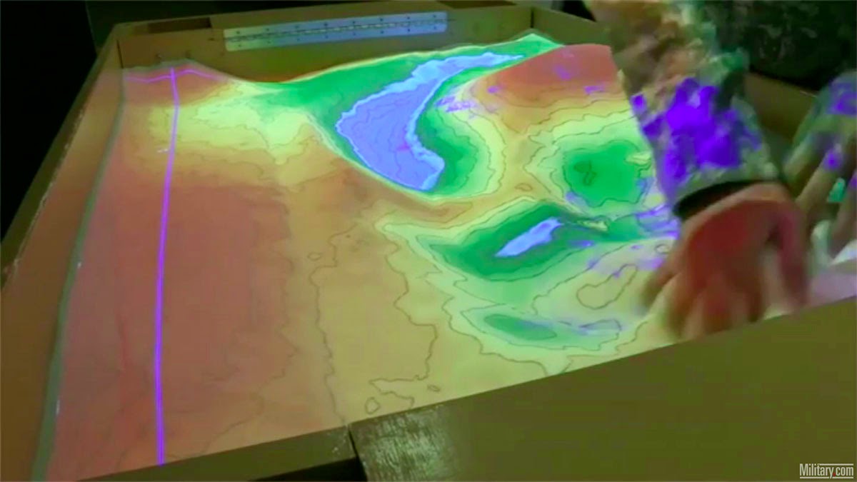
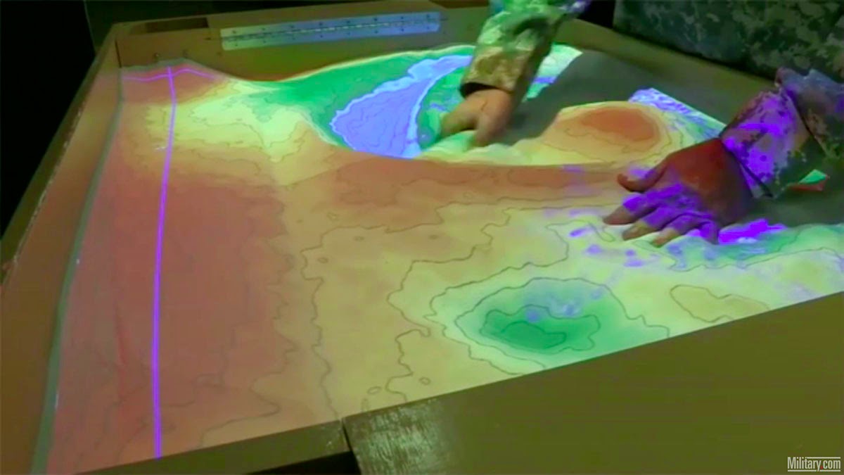
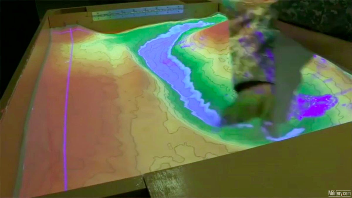 [Image: Screen grabs via
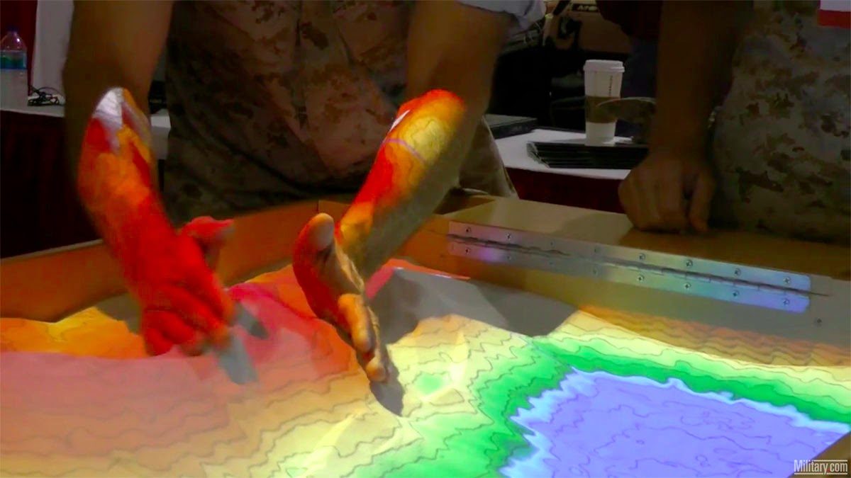

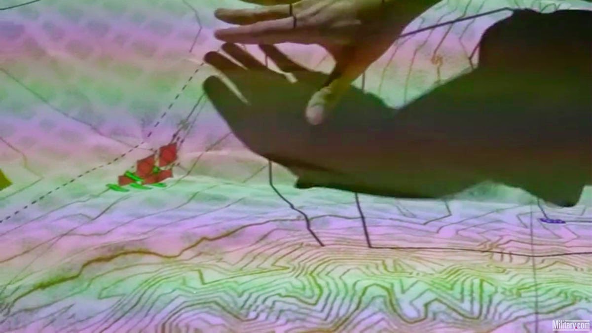
 [Image: Screen grabs via
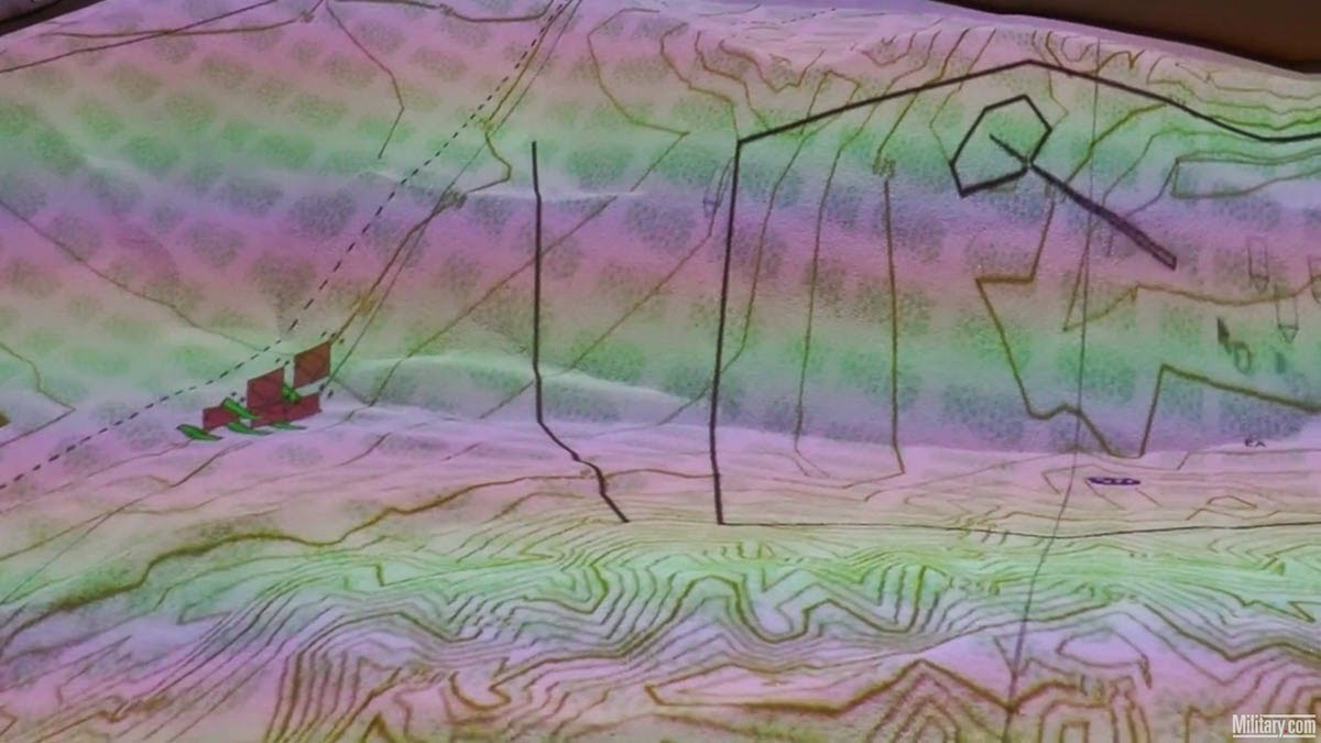
 [Image: Screen grabs via
 [Image: Photo courtesy
  [Image: Photo courtesy
 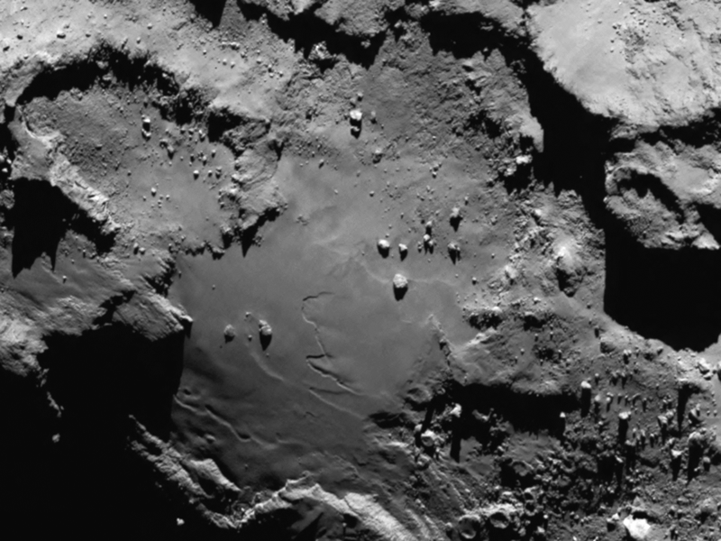 [Image: Photo courtesy
 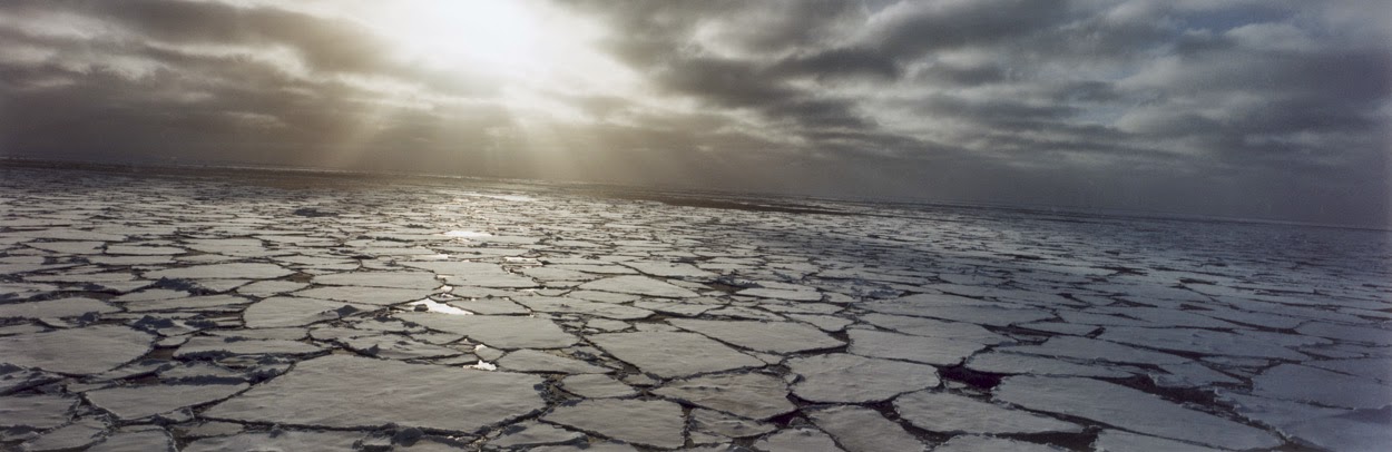 [Image: Photo by
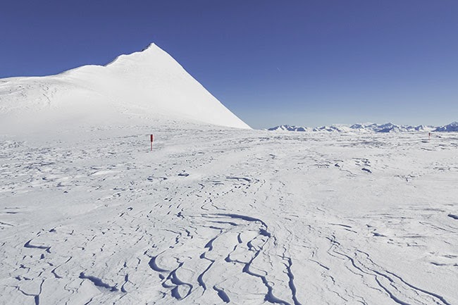
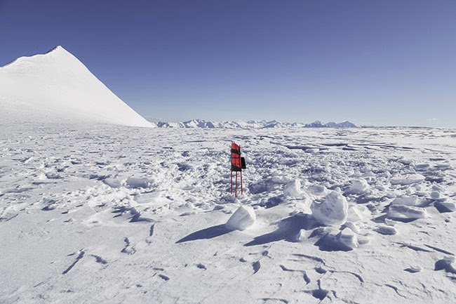
 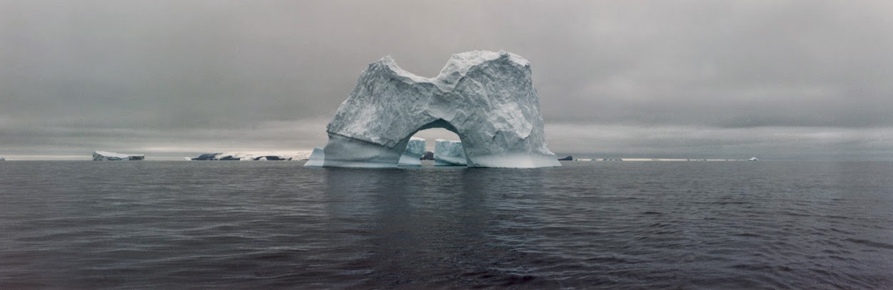 [Image: The gateway arches of the Antarctic; photo by
  [Image: Approaching 67P, via the
 [Image: From
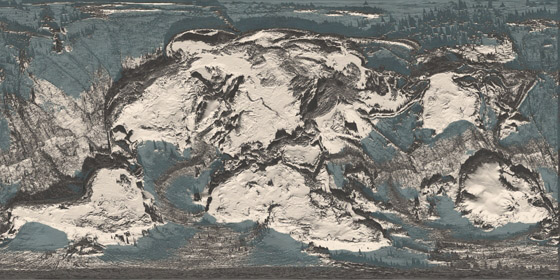
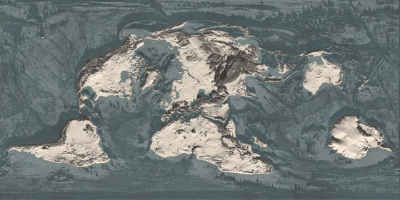
 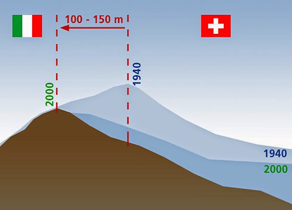 [Image: Due to glacial melt, Switzerland has actually grown in size since 1940; courtesy
 [Images: From
  [Image: From
 [Images: From
 [Images: From
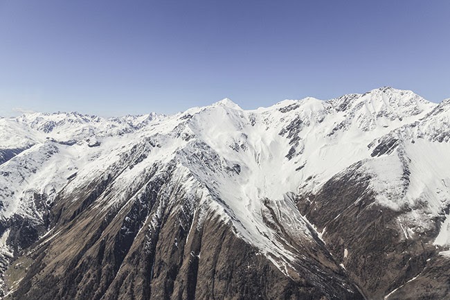
 [Images: From
  [Image: From
  [Image: ANY Design Studios, via
  [Image: ANY Design Studios, via
  [Image: ANY Design Studios, via