The terrestrial status of Boston is an unexpectedly fascinating topic. A city built on land rescued from the sea, it is not only unusually at risk from sea-level rise; it also hides parts of its marshy past beneath its streets and buildings.
As a project by the Norman B. Leventhal Map & Education Center recently wrote, “No city in the U.S. has a more striking history of landmaking than Boston, with about a sixth of its present land area sitting on estuaries, mudflats, coves, and tidal basins that would have been submerged at high tide prior to the seventeenth century. Mapping the growth of the city into the surrounding ocean has been an interest of Boston’s geographers for centuries, and our modern maps of shoreline change are some of the most popular objects in our digital collections.”
 [Image: Boston, courtesy of the Norman B. Leventhal Map & Education Center.]
Indeed, the Wall Street Journal explained last year, some of Boston’s most expensive houses are more like docks or wharves, sitting atop wooden pilings driven deep into flooded ground. In one specific case, “the underground wooden pilings supporting the foundation had been rotting for years, to the point where the building’s walls were ‘almost floating,’ [the home’s owner] recalled.”
Recall the the incredible story of William Walker, a diver who “saved” Winchester Cathedral in England by diving beneath it for a period of six years, repairing its aquatic foundations from below. “When huge cracks started to appear in the early 1900s,” we read, “the Cathedral seemed in danger of complete collapse. Early efforts to underpin its waterlogged foundations failed until William Walker, a deep-sea diver, worked under water every day for six years placing bags of concrete.”
Ben Affleck’s next movie, perhaps—scuba diving beneath the streets of Boston and saving the city from below…
While the bulk of the Leventhal Center’s project focuses on the economic value of reclaimed land in the Boston area—what they call “the ultimate financial asset: brand-new urban land, ready for development”—there is at least one amazing detail I wanted to post here.
Like buried ships in New York City and San Francisco, Boston has its own maritime archaeology: “Sophisticated networks of fish weirs can still be found buried beneath the streets of the [Back Bay] neighborhood, which were laid out in a tidily gridded pattern in the nineteenth century to facilitate the engrossment and sale of property.” Indigenous hydrological infrastructure, hiding in plain sight.
Writing just today, meanwhile, in an op-ed for WBUR, Courtney Humphries suggests that, ironically, Boston’s future survival might depend on doing more of what got it into trouble with the sea in the first place: building more land and further modifying the shoreline.
What future weirs and dams and levees and pilings, architectural anchorages all, might we see beneath the streets of Boston, a city halfway between terrestrial and maritime, ground and ocean, bedrock and marsh, in the years to come?
 [Image:
  [Image: Electron interferometry, via the
  [Image: An example of electron beam lithography, via Trevor Knapp/Eriksson Research Group/
 [Image: Nanostructures made by


 [Image: The
  [Image: From
  [Image: From
  [Image: Michelangelo’s sketches for the fortification of Florence].
 [Image: Michelangelo’s sketches for the fortification of Florence].
 [Image: Michelangelo’s sketches for the fortification of Florence].
 [Image: “The Sphere” by Oliver Tessman, Mark Fahlbusch, Klaus Bollinger, and Manfred Grohmann].
 [Image: Matter Design’s La Voûte de LeFevre, Banvard Gallery (2012)].
 [Image: Greg Lynn’s “Embryological House,” Venice Biennale (2002)].
 [Image: “Custom forming tool mounted on the six-axis robotic arm,” via
  [Image: As if a lighter-than-air geometric fluid became temporarily frozen between two gateways of masonry, it’s just a bridge over the Norderelbe in Hamburg, Germany; photograph by Georg Koppmann (1888) from the collection of the
 [Image: Photo by
  [Image: Photo by
  [Image: Photo by
  [Image: Photo by
  [Image: Photo by

 [Images: Photos by
  [Image: Photo by
 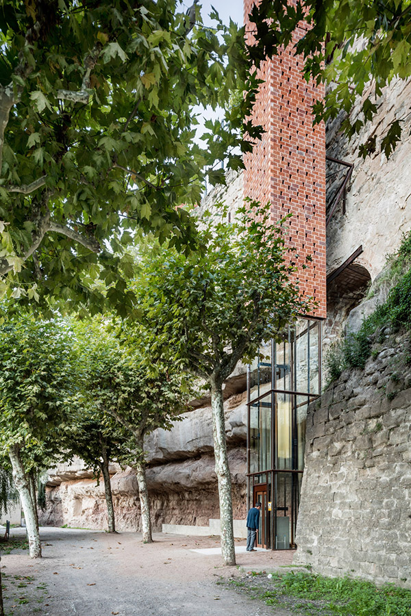 [Image: Photo by
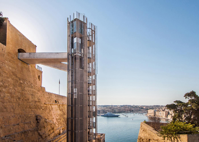 [Image: The “Barakka Lift” in Malta; photo by
 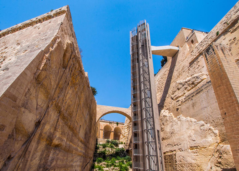 [Image: The “Barakka Lift” in Malta; photo by
 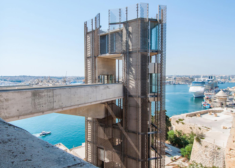 [Image: Photo by
 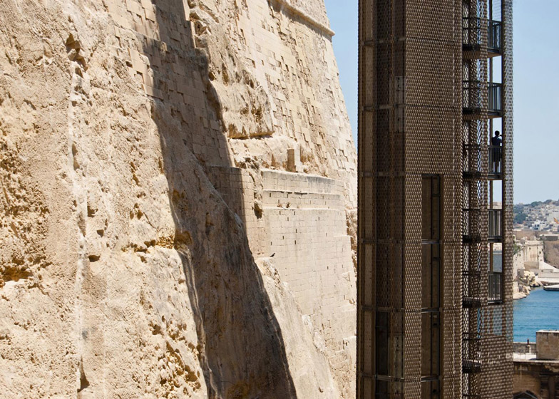 [Image: Photo by
 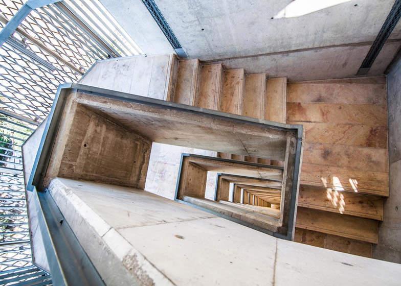 [Image: Photo by
 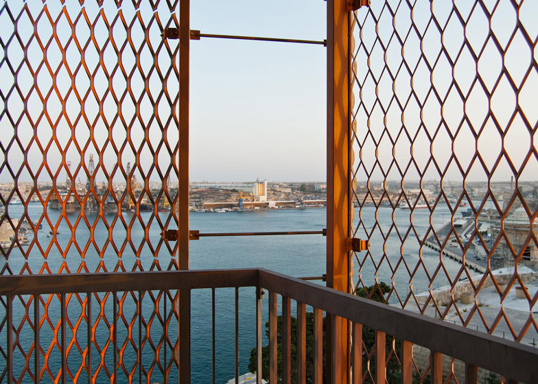 [Image: Photo by
 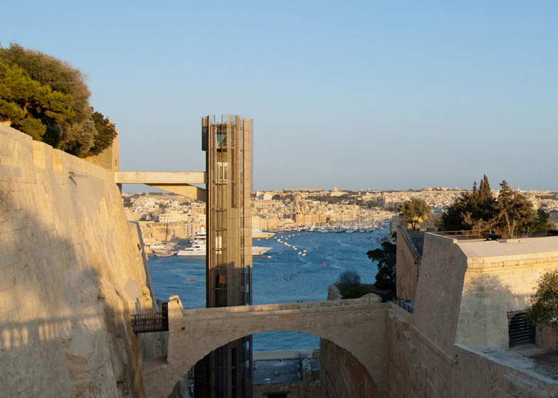 [Image: Photo by
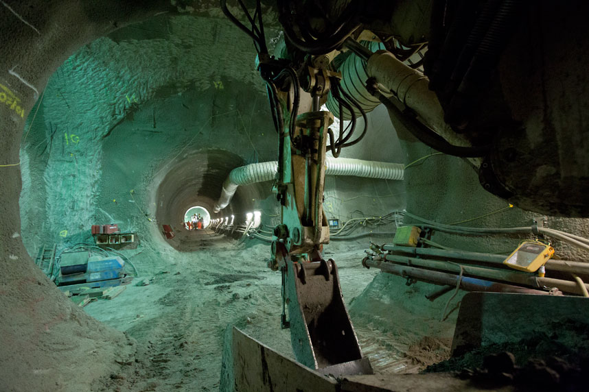
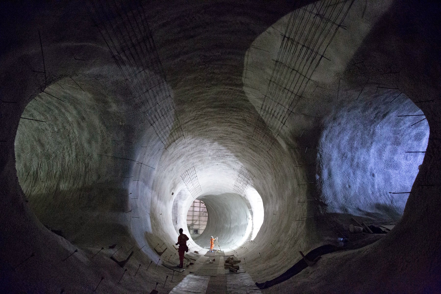 [Image: Bond Street platform tunnels, courtesy
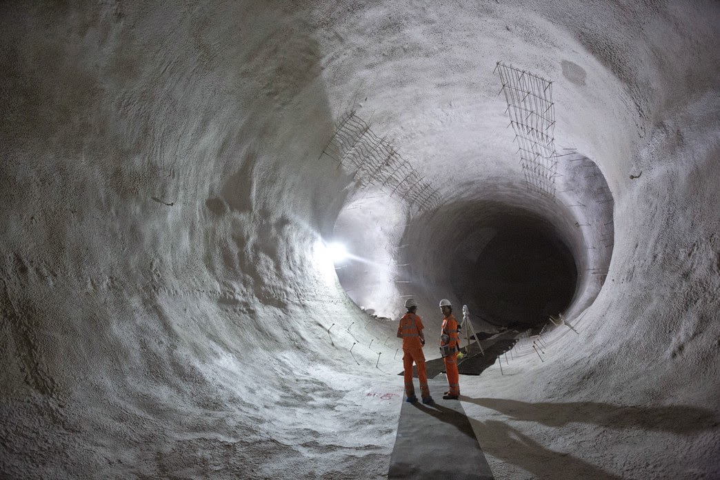
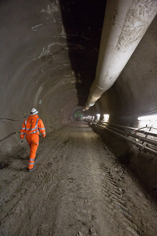
 [Images: Bond Street platform tunnels, courtesy
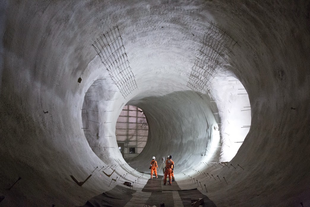
 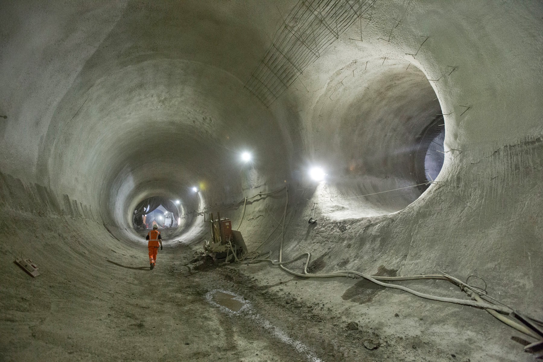 [Image: Bond Street platform tunnels, courtesy
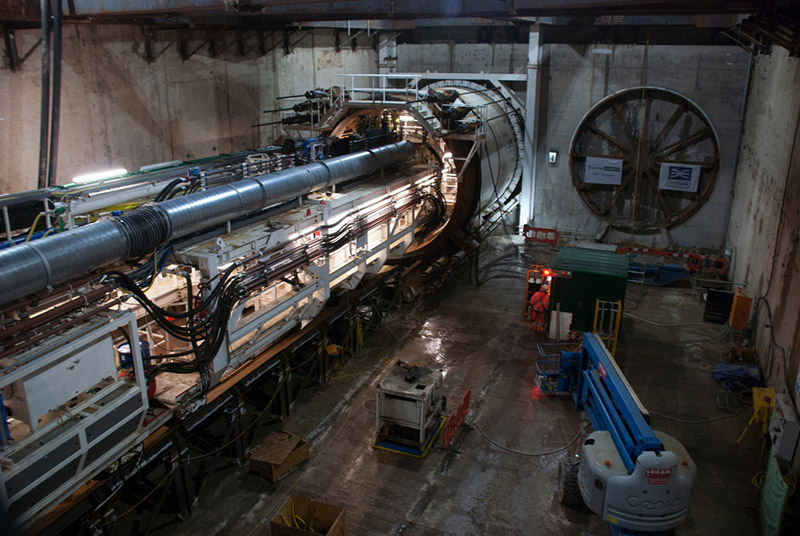 [Image: Machines slide beneath the streets, via
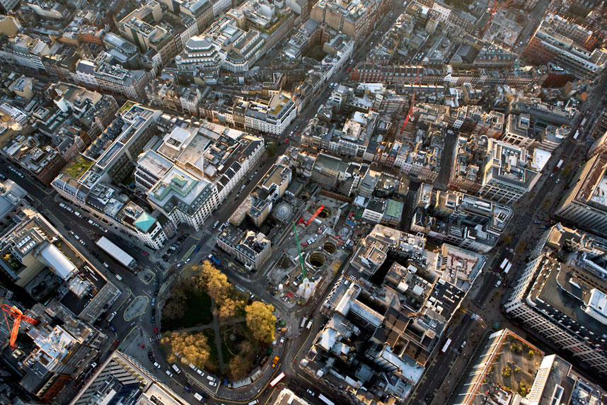
 [Image: Looking down through shafts into the subcity, via
 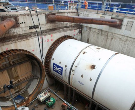 [Image: Phyllis, via