
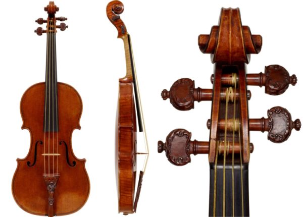
 [Image: The “Lady Blunt” Stradivarius violin recently sold for £15.9 million].
I have to admit to a certain amount of obsession with the various quasi-scientific hypotheses for why Stradivarius violins have their so-called “perfect” sound, ranging from sunspots and European cold spells to tales of “secret ingredients” and “special varnishes” applied to the wood, to stories of Antonio Stradivari himself harvesting “the wood of ancient castles and cathedrals” in order to build the bodies of his famous instruments.
“A sharp dip in temperatures between 1645 and 1715,” we read in but one example of these sorts of speculations, this time from National Geographic, “coincided with a reduction in sunspots and the sun’s overall activity known as the Maunder Minimum. Researchers say those factors may have slowed tree growth, thereby creating the ideal building material for violins later manufactured.” Indeed, the BBC adds, “It seems that the trees growing during the lifetime of Stradivari experienced a unique set of environmental conditions that has not occurred since.”
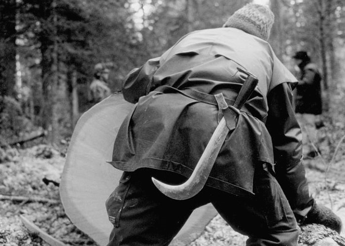 [Image: Lorenzo Pellegrini gardens the forest for resonant wood; photo via JMC].
On the other hand, the resonant fullness of a Stradivarius could also come down simply to good pruning.
A fascinating and odd story in the BBC last week described the life’s work of a man named Lorenzo Pellegrini, who “gardens” the Risoud Forest in Switzerland to assist the future resonant acoustics of the wood currently growing there. It’s a violin garden for the 24th century. “Now 83, he still climbs trees like a squirrel,” the BBC writes, “and tends the forest as if it were his garden—weeding out the beech trees that would smother his precious spruces” (note that this description suspiciously echoes the website of Swiss instrument maker JMC Lutherie, where we read that “Lorenzo is 80 years old, and he still climbs trees like a squirrel”).
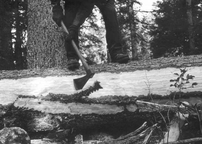 [Image: Lorenzo Pellegrini shapes planks for violins in Switzerland’s Risoud Forest; photo via JMC].
In any case, felling the trees is like ceremonial druidry:
Once you have found the perfect tree, he says, you have to wait for the perfect day to cut it down. That day comes at the end of autumn when the sap has sunk back into the ground. When the moon is lowest on the horizon, and furthest from the Earth. Because, apparently, the gravitational pull of the moon does not only tug the waters of the sea and make the tides, it tugs up the sap.
It is, we might say, lunar wood. You can watch a film about Pellegrini—in French, without English subtitles—here.
There is a very long list of interesting things to point out here, not the least of which is the conceptual overlap between resonant forests, grown for the musical properties of their wood, and the long history of the sacred grove in European folklore and mythology. But I am also reminded of the Jaguar Lount Wood, a small forest in the UK planted specifically to help off-set all the walnut grown for paneling the insides of Jaguar cars; and of the many forests planted over the centuries specifically for growing wood for shipbuilding (more of which at the earlier link).
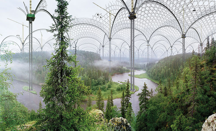 [Image: “Kitka River” from the Museum of Nature by Ilkka Halso].
But surely this also sets the stage for the design of some incredible future greenhouse somewhere, chilled from within and spanning whole hills, streams, and meadows at a time, where perfectly refrigerated forests grow slowly under controlled conditions to form violins in three centuries: lined with weights and counter-weights, they are pruned, cut, sliced, and pulleyed to stretch the grain toward specific densities, to hit frequencies hundreds of years from now in an echoing concert hall built for music from modified trees.
Families tend the chambered forest, introducing a new carbon dioxide mix every third Sunday of the month according to some arcane unwritten formula, and these perfectly strange trees, ideally shaped for music, roll deliriously inside with their own tuned tides of sap and water. Instrument makers step gingerly over the roots and soils of the controlled forest floor where, barely whispering out of respect for their surroundings, they remove calipers from leather bags, they prism their laser-levelers through passing banks of mist, and they pay on credit three hundred years in advance to reserve well-measured sections of trees for future violins and cellos, imagining whole new forms of music that might emerge someday, given the right, surgically placed sequences of cuts, as if all trees are secretly hiding musical instruments and only the smallest percentage of them have so far been revealed.
(Spotted via @nicolatwilley).

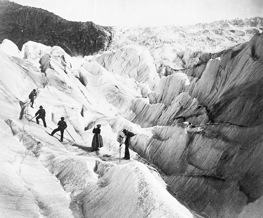
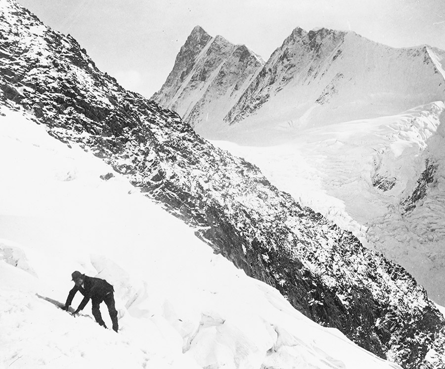
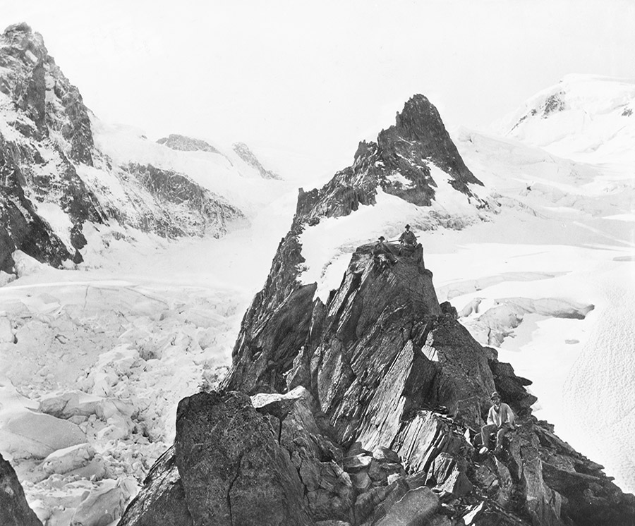
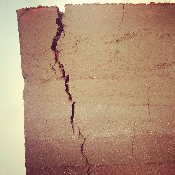
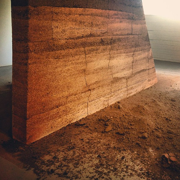
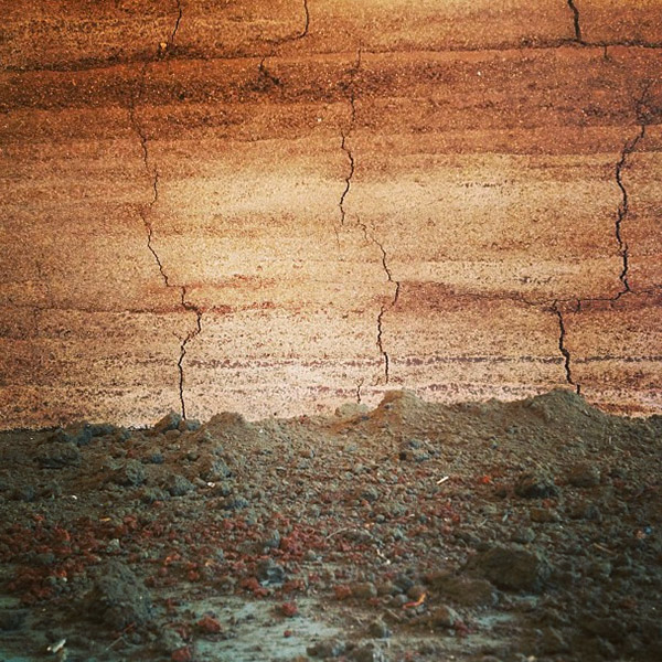
 [Image: From
  [Image: From
  [Image: From
  [Image: From
  [Image: From
  [Images: From
  [Image: From

 [Images: From
  [Image: From
  [Image: From

 [Images: From


 [Images: From
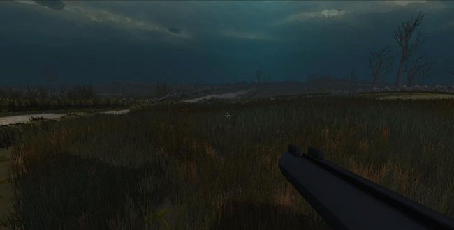
 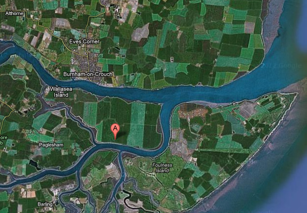 [Image: Wallasea Island Map from Google Maps, via
 [Image: Courtesy of the
 [Images: Courtesy of the
 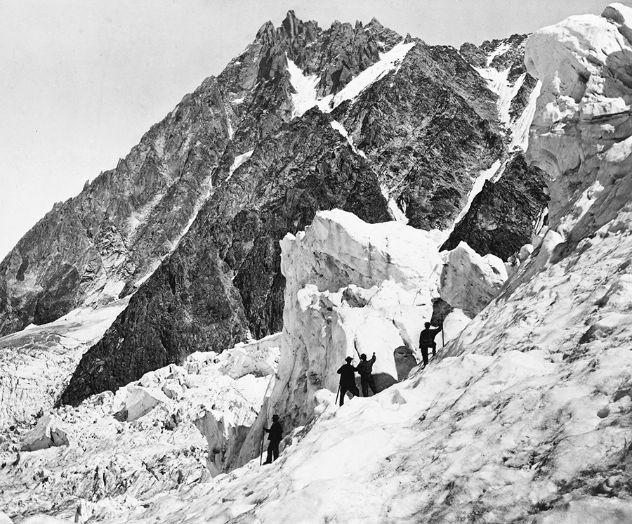 [Image: Courtesy of the
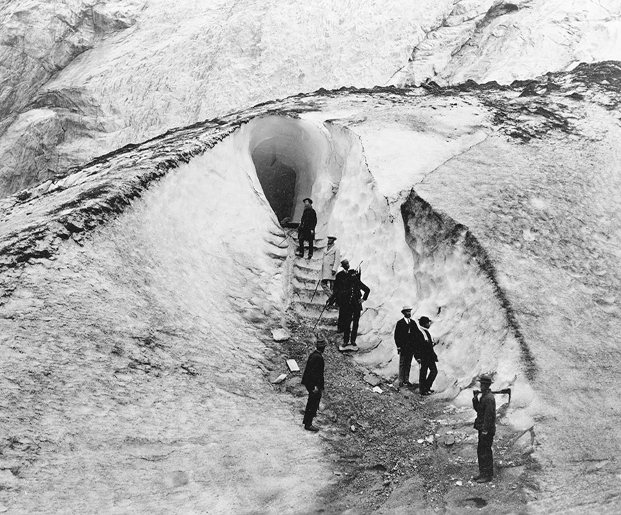

 [Images: Courtesy of the
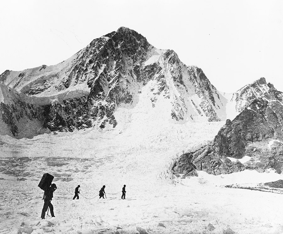
 [Images: Courtesy of the
 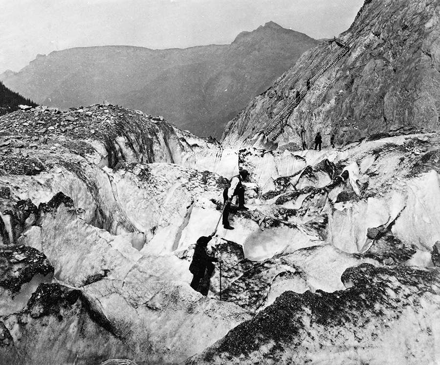 [Image: Courtesy of the
  [Image: Courtesy of the
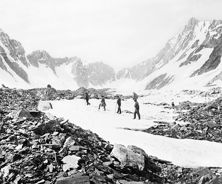
 [Images: Courtesy of the
 [Image: NYC’s “track geometry car,” via
 [Image: This humid and apocalyptic image—one of my favorite of the last few years—by photographer
  [Image: The “
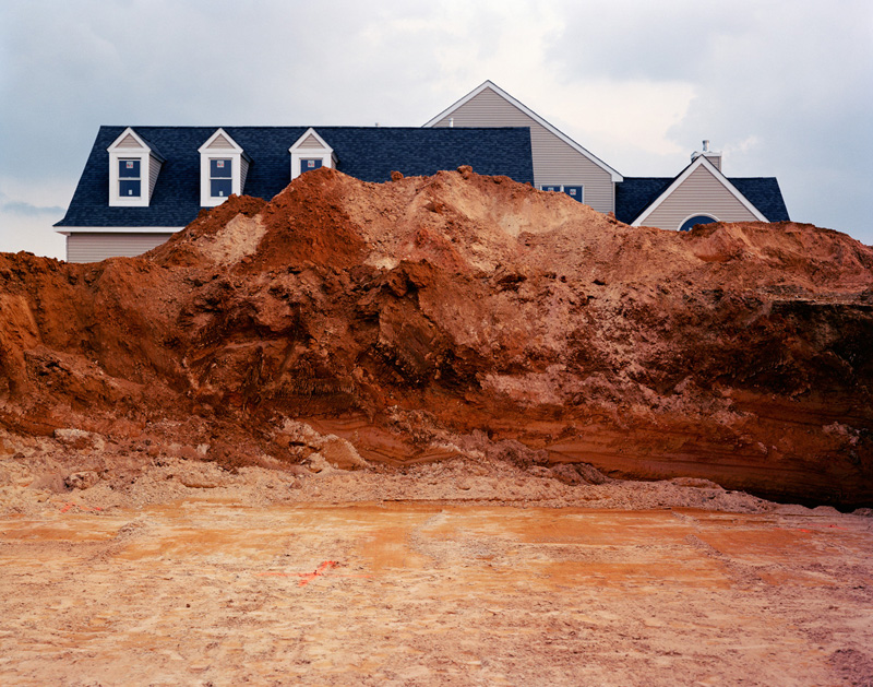 [Image: A
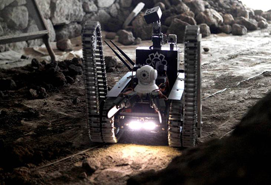
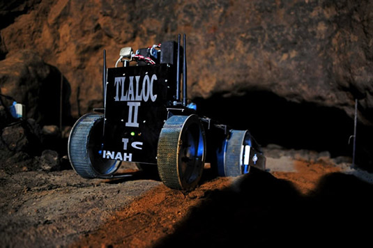 [Image: The archaeological robot Tlaloc II-TC, a design descendent of
 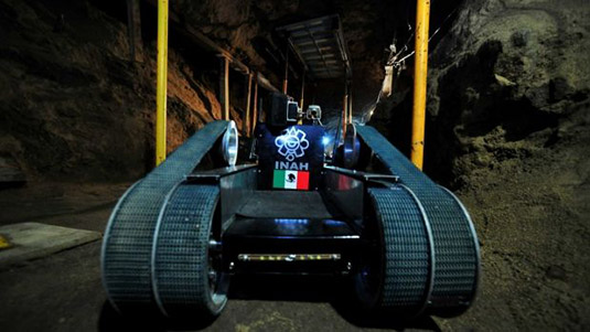 [Image: The archaeological robot Tlaloc II-TC, courtesy of
 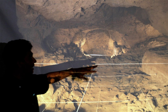 [Image: Sergio Gomez from the
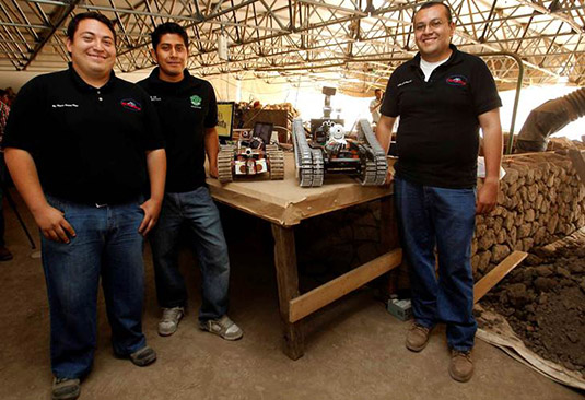
 [Image: The robot design team and different models of the surveyors; photos by Alma Rodríguez for
 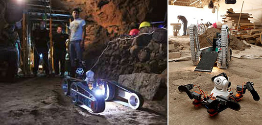 [Image: The robot design team and different models of the surveyors; photos by Alma Rodríguez for
 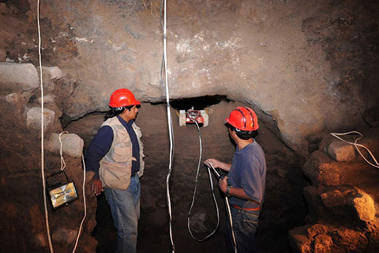 [Image: The earlier generation
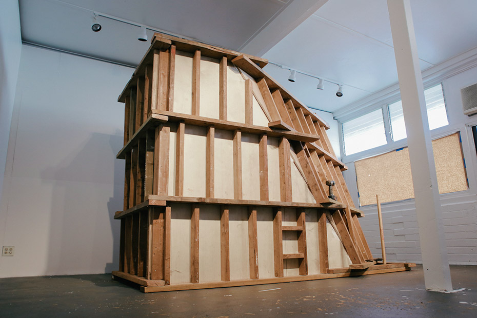
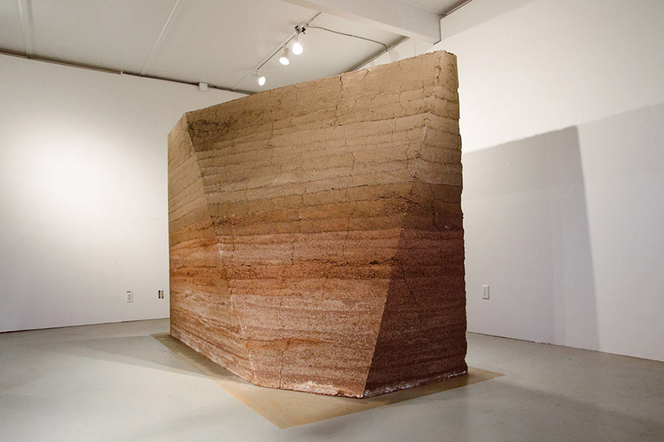 [Image: A Small Area of Land (Kaka‘ako Earth Room) by Sean Connelly at Honolulu’s
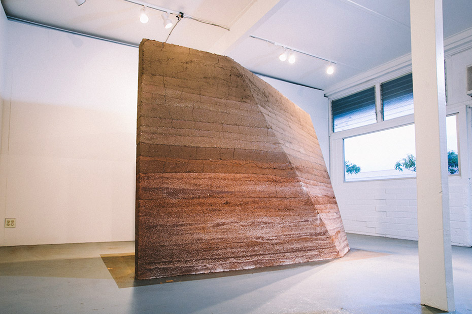
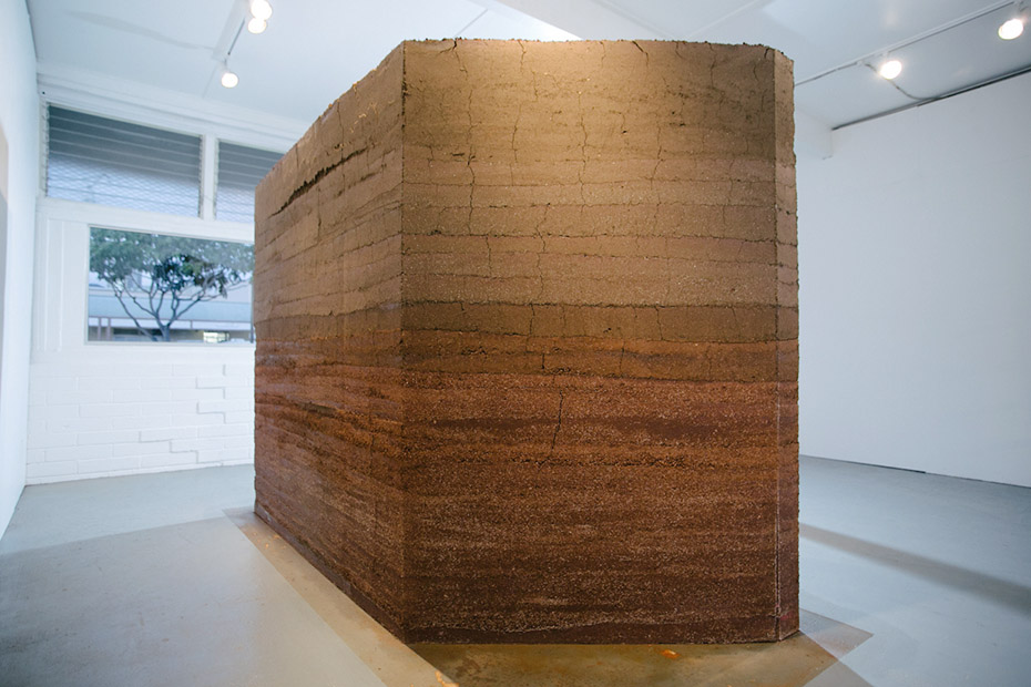
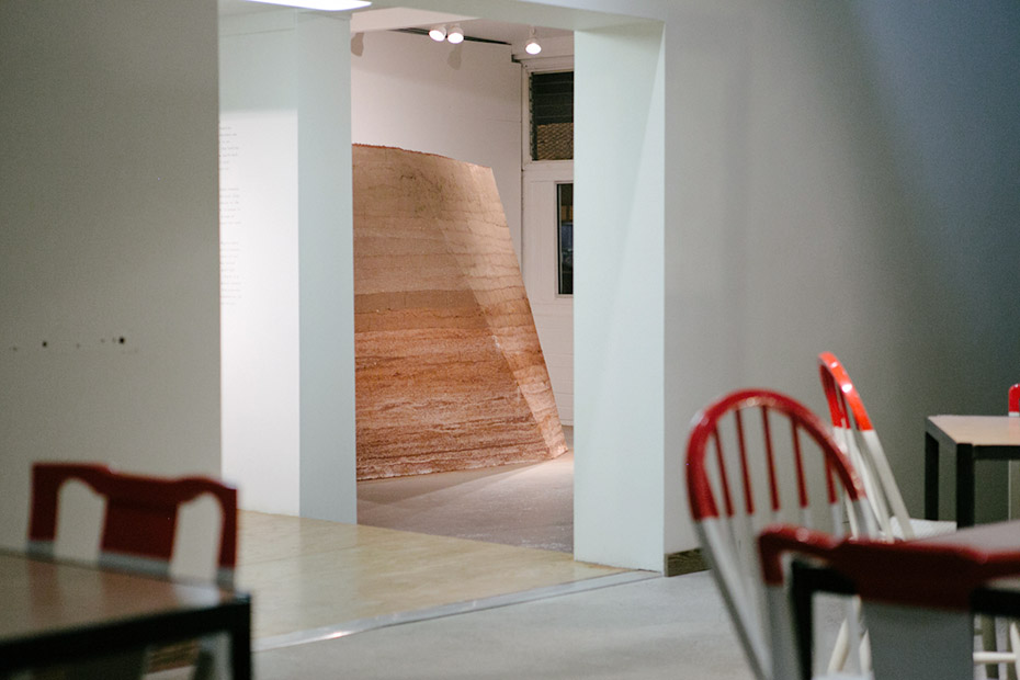 [Images: A Small Area of Land (Kaka‘ako Earth Room) by Sean Connelly at Honolulu’s
 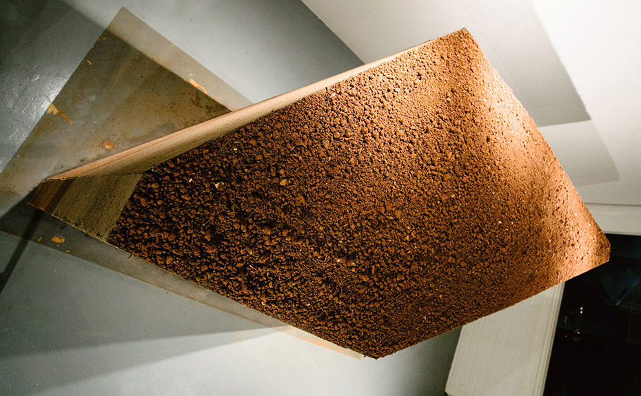 [Image: A Small Area of Land (Kaka‘ako Earth Room) by Sean Connelly, seen from above; photo by Vincent Ricafort, courtesy of the
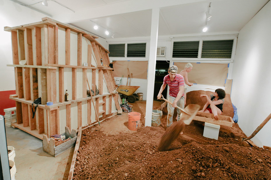
 [Images: A Small Area of Land (Kaka‘ako Earth Room) by Sean Connelly at Honolulu’s
 [Images: A Small Area of Land (Kaka‘ako Earth Room) by Sean Connelly at Honolulu’s
 [Images: Four Instagrams by Sean Connelly of his Small Area of Land (Kaka‘ako Earth Room) installation at Honolulu’s
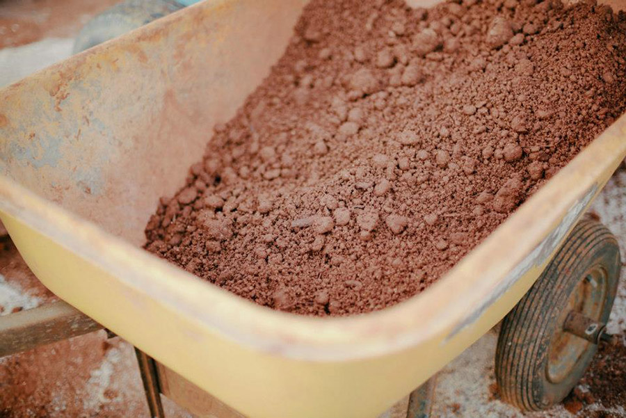
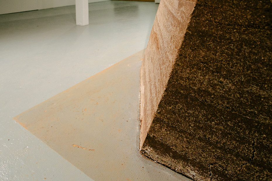
 [Images: A Small Area of Land (Kaka‘ako Earth Room) by Sean Connelly at Honolulu’s
 [Images: A Small Area of Land (Kaka‘ako Earth Room) by Sean Connelly at Honolulu’s
  [Image: A Small Area of Land (Kaka‘ako Earth Room) by Sean Connelly at Honolulu’s
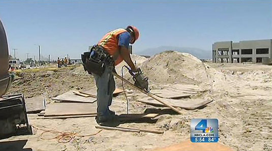 [Image: Construction work at a future Amazon.com warehouse in San Bernardino, courtesy of
 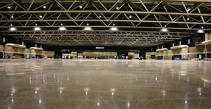 [Image: An unrelated warehouse photo from
 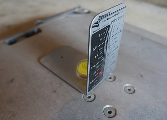 [Image: A laser-leveling target used for calibrating car scales, taken by someone named “

 [Image: Photo by Ravell Call, Deseret News, courtesy of
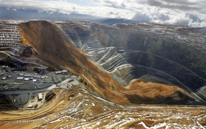
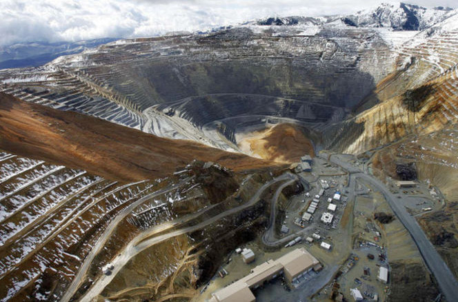 [Images: Photos by Ravell Call, Deseret News, courtesy of
 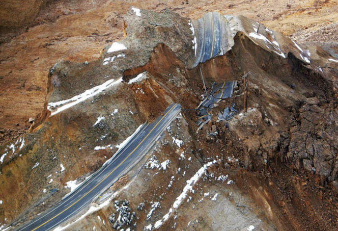 [Image: Photo by Ravell Call, Deseret News, courtesy of
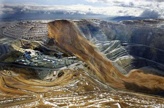
 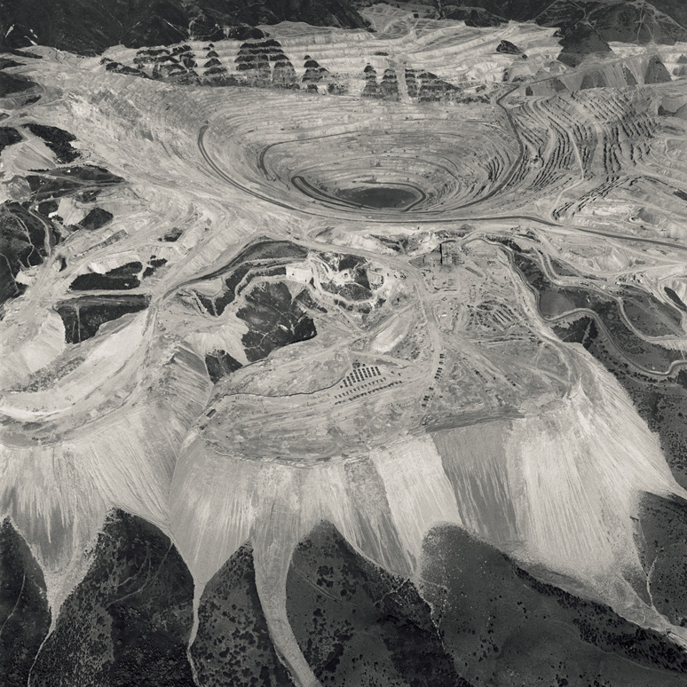 [Image: An aerial photo of the Bingham Canyon Mine, Utah, by
 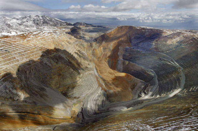 [Image: Photo by Ravell Call, Deseret News, courtesy of
  [Images: The
  [Images: The
 [Image: A plane lands at Heathrow, London; photo by Simon Dawson, courtesy of
  [Image: The “
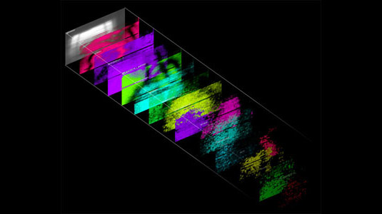 [Image: Signal data and its spatial implications from the “
 [Image: From the “