It’s not exactly news, but something caught my eye the other week via Robin Sloan’s Twitter feed, so I thought I’d put up a quick post about it here.
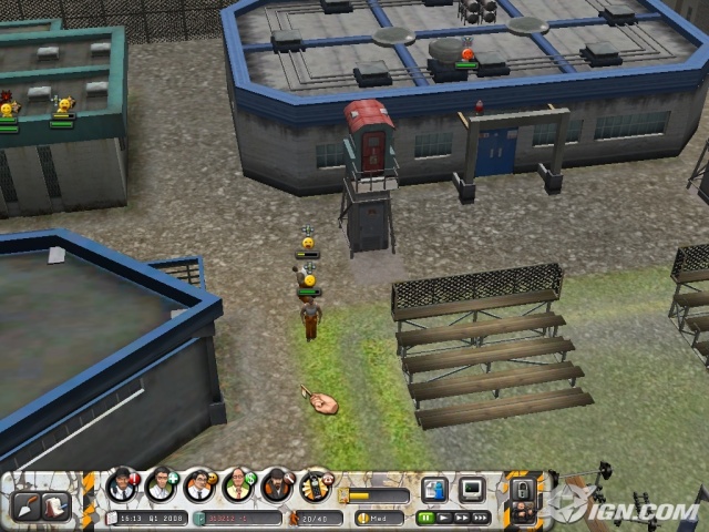
 [Image: From Prison Tycoon 4: SuperMax. Image via IGN].
The description of Prison Tycoon 4: SuperMax, a ValuSoft game released in 2008, urges players to experiment in the architectural framing and administrative implementation of prison life.
“Build a profitable privately run prison from the ground up,” it says. “Every wall, every fence, every decision is yours. Start small and forge your reputation as a first rate warden. Grow your facility to SuperMax capabilities, housing the most dangerous and diabolical criminals on earth – all for the bottom line.”
Putting moral limits on our imaginations temporarily aside, perhaps we could even conceive of Prison Tycoon 5: Guantánamo Bay, or Prison Tycoon 6: Austrian Basement Edition. Prison Tycoon 7: Gulag.
Prison Tycoon 8: Escape from Abu Ghraib.
Or scrap the cheap political commentary and go for sci-fi: Inflatable Prisons in Space! The final level is a siege of the earth’s surface via space elevator, convicts raining down upon the planet like dark angels. The plot is loosely modeled on Paradise Lost.
Setting up the next game: Prison Planet.
Or famous prisons from literature – including Brian Aldiss’s rotating prison of Helliconia.
The Library of Babel reimagined as a SuperMax prison in the mountains of western Canada.
Prisons carved from glaciers undergoing catastrophic earthquakes as global climate change causes melt-off. You have to escape before the ice sheet collapses, teaming up with the very guards who once held you captive.
Prison Tycoon 10: Global Meltdown.

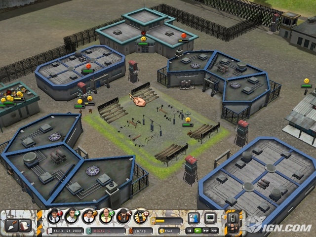
 [Images: From Prison Tycoon 4: SuperMax. All images via IGN. If Mies van der Rohe had designed a prison, what might it have looked like?].
Of course, ValuSoft kicked all of this off back in 2005 with the original Prison Tycoon: “In Prison Tycoon,” we read, “you construct and maintain a private prison, hire the staff, and control the prisoners – all while trying to earn big money.”
But why not open the series to goals beyond “big money” and a swollen “bottom line,” and aim for sheer architectural complexity?
Or locational advantages, like the offshore oil rig -slash- ultramax prison in John Woo’s surprisingly great film Face/Off.
You construct an Alpine labyrinth that has no guards at all; the architecture itself is so bewildering that no one has ever escaped. Umberto Eco’s final novel is set there; or perhaps one of his characters dreams it.
Gormenghast: The Prison.

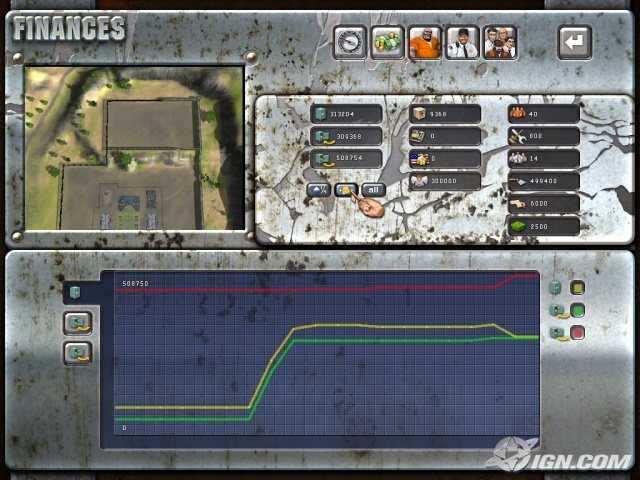
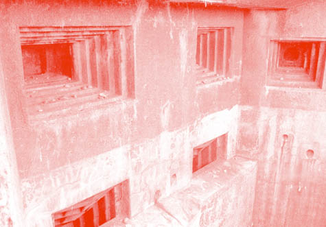
 [Images: From Prison Tycoon 4: SuperMax. Images via IGN].
However, lest you now be tempted to purchase Prison Tycoon 4, I’d first suggest reading this review.
For instance:
Since it’s pretty much impossible to tell the difference between a guard and a prisoner in the yard, you’ll have to open up the submenu. From there you click on the guard tab, select a specific guard, look at the minimap to check the whereabouts of the guard, close the submenu, investigate the most recent known whereabouts of the guard, locate and right mouse click the guy (you can’t create a drag box to select anything in this game), move him into the action, right mouse click on a troubled prisoner, and select the beat-him-up icon. By the time you try to initiate all of this, a prisoner might have already died. If this all sounds convoluted it is. The whole game is like this, and it really hurts to not have a proper tutorial.
Sounds like fun.
 [Image: The New York Moon‘s interactive map of the
  [Image: View
 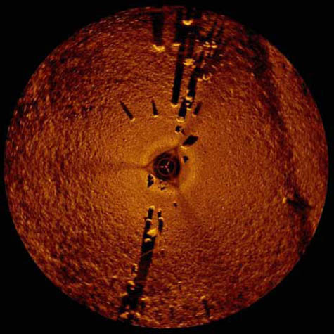 [Image: Standing stones beneath Lake Michigan? Via
 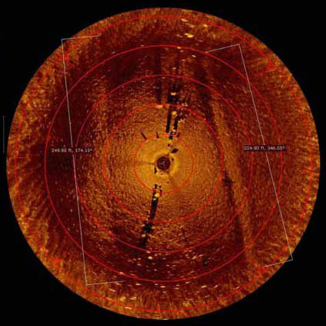 [Image: The stones beneath Lake Michigan; via
 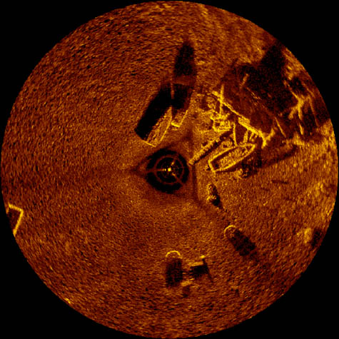 [Image: The “junk pile” of old cars and boat skeletons; via
 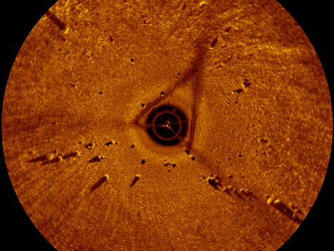 [Image: The stones; via
 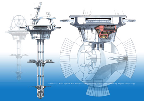 [Image: Offshore energy islands, via
  Instead of putting people under
  As you can read in the trip’s accompanying PDF (
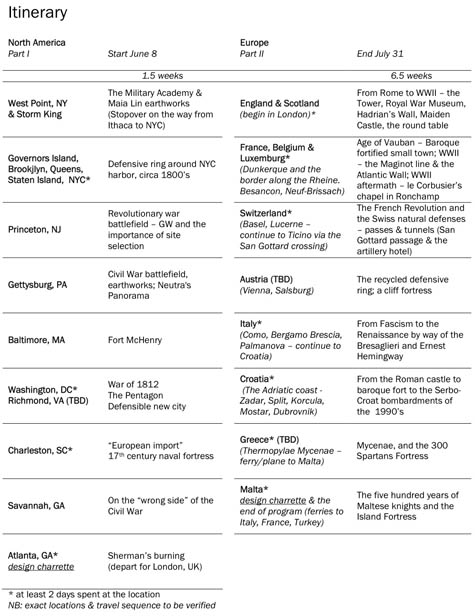 [Image: View
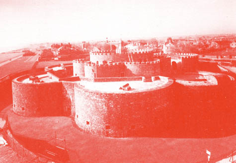


 You would even have studied “operational walls”:
 [Image: The pack and the bunker: equipment for landscapes].
 [Image: Three photos by
 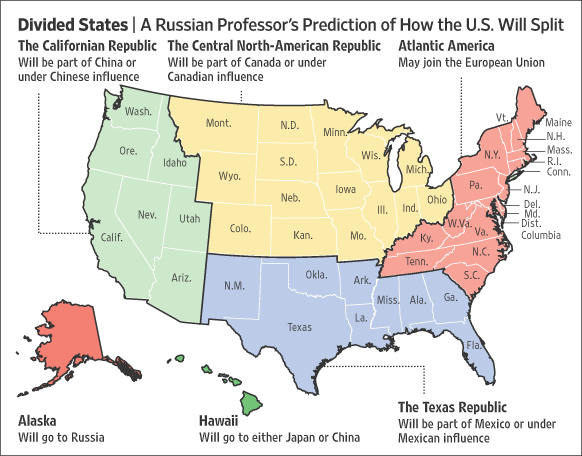 [Image: Professor Igor Panarin’s six-fold vision of
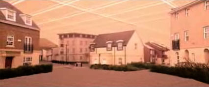
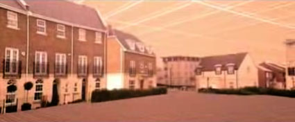
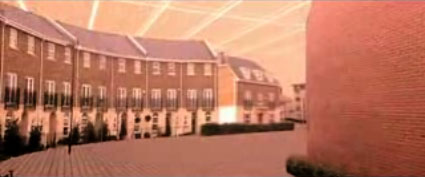 [Images: From a short film by
 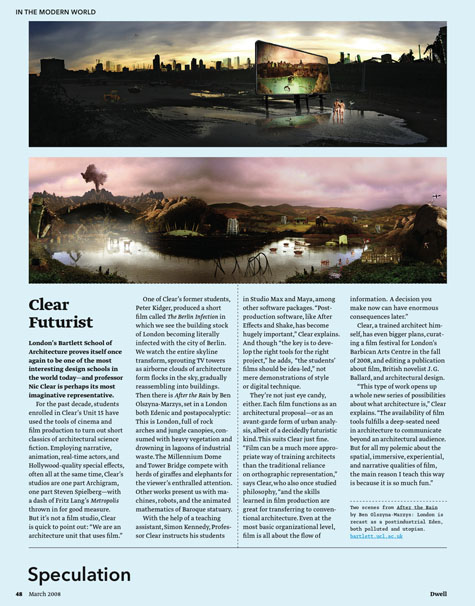 [Image: A short article about Nic Clear from the March 2008 issue of

 [Images: From a short film by