 [Image: A map of the Battle of Villmanstrand (1741), via George III’s Collection of Military Maps, assembled by Yolande Hodson.)
A vast collection of old military maps has been made available online through the UK’s Royal Collection Trust, taken from the collection of King George III, thanks to the exhaustive work of Yolande Hodson. While the troop positions and tactical maneuvers they document are fascinating, the maps are also a spatial survey of building types, terrains, and urban plans, including star forts, walled villages, protected natural landscape features, from bays to river valleys, and other strategic environments.
As the blog Ian Visits explains, “Maps were an important part of George’s early life and education, and he built up a huge collection of more than 55,000 topographical, maritime and military prints, drawings, maps and charts. Upon the King’s death, his son, George IV, gave his father’s collections of topographical views and maritime charts to the British Museum (now in the British Library), but retained the military plans due to their strategic value and his own keen interest in the tactics of warfare.” The new website apparently documents a mere 3,000 of those documents.
The whole thing is searchable by conflict, which means that you can look specifically for maps related to, say, the Franco-Spanish War of 1635-59, including the Siege of Cremona (1648)—seen below—or, say, the Russo-Swedish War of 1741-43, which included the Battle of Villmanstrand (1741), the image that opens this post.
 [Image: A map of the Siege of Cremona (1648), via George III’s Collection of Military Maps, assembled by Yolande Hodson.)
Perhaps even better, however, you can also click on maps by region, from North America to India to, of course, all over Europe and the Caribbean. This includes, among the thousands of examples, an incredible map from the American Revolution depicting New York City in all of its topographic glory.
 [Image: Long Island, New York and Staten Island (1776), via George III’s Collection of Military Maps, assembled by Yolande Hodson.)
Indeed, as Ian Visits notes, “Highlights of the collection include two-metre-wide maps of the American War of Independence. These vast maps were probably hung on purpose-made mahogany stands in Buckingham House, enabling the King to follow the steady erosion of his hold on the American colonies.”
The collection is spectacular. The Siege of Memel (1757). The Siege of Olmütz (1758). A view of Gotha (1567). The Siege of Prague (1757). I could go on and on. The Plan of Pilau (1757). The Siege of Bangalore (1791)…
Check out the guide to the online catalog, then dive in.
(Vaguely related: Feral Cities, Indirect Streets, and Soft Fortification.)
 Image: Photo by
  [Image:
  [Image: Via
 [Image:
 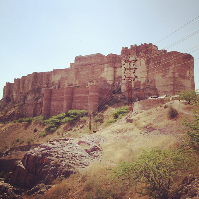 [Image:
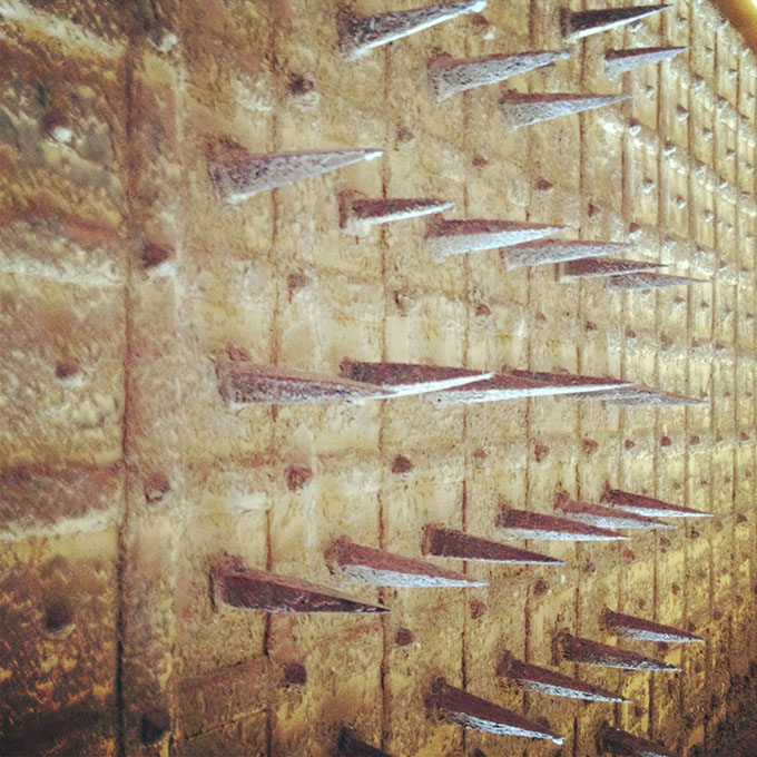
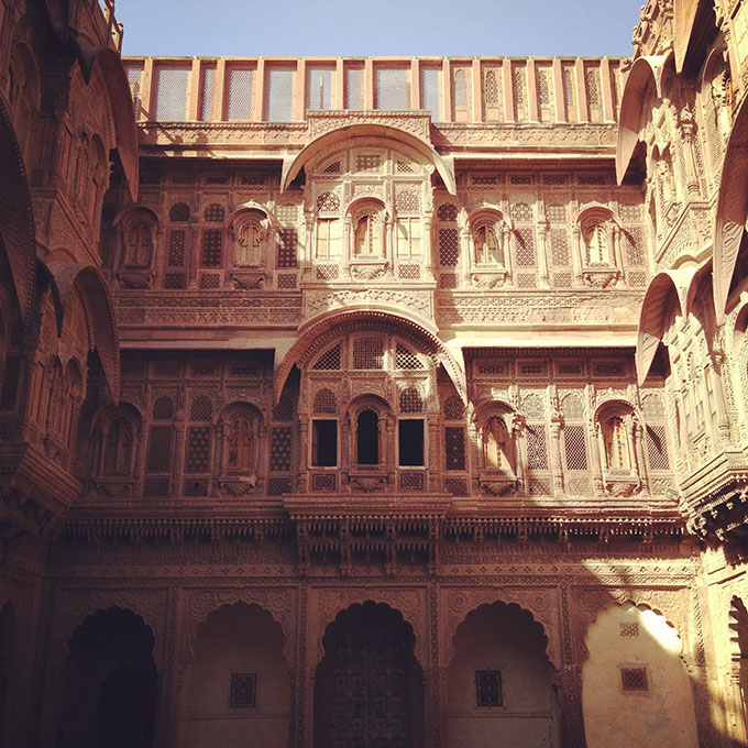
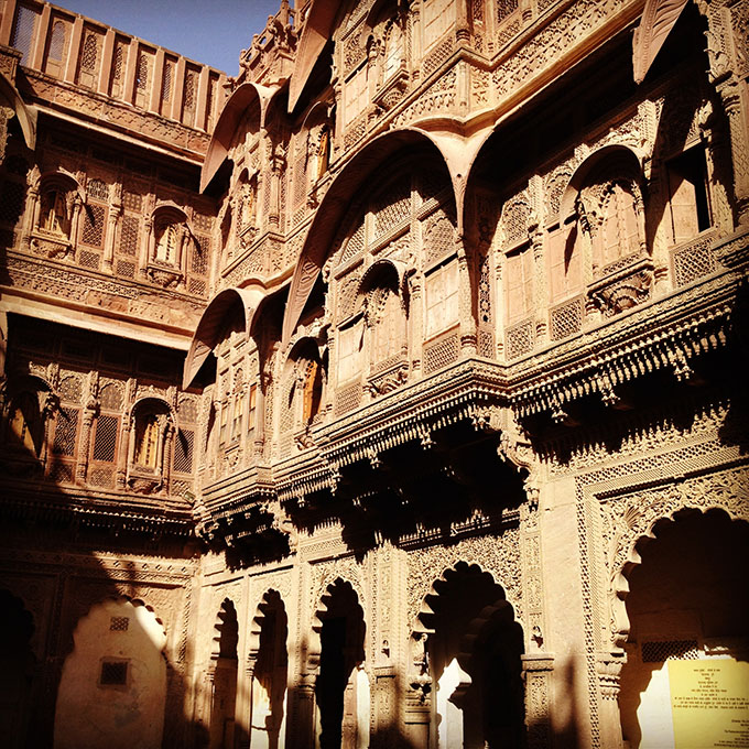
 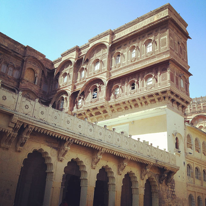 [Image: Inside

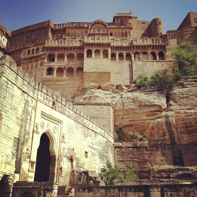
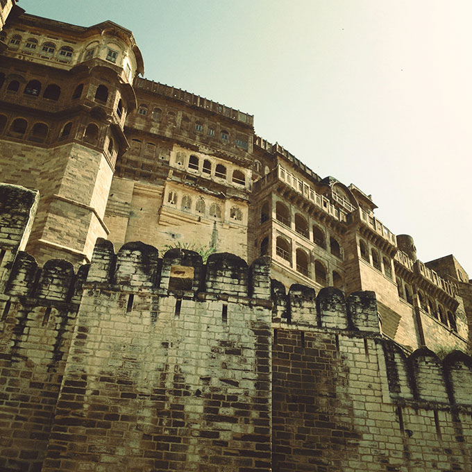
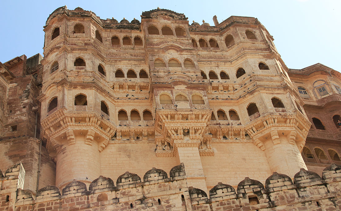
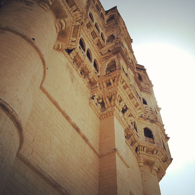
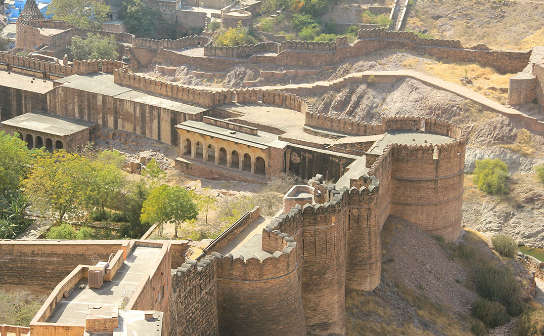
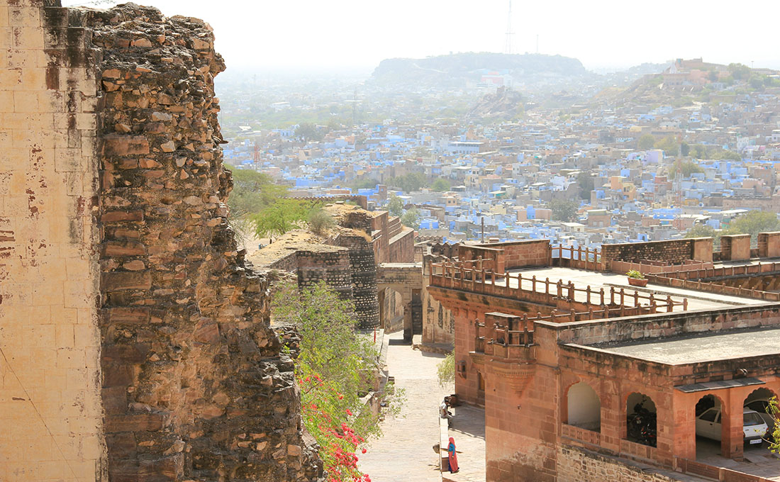
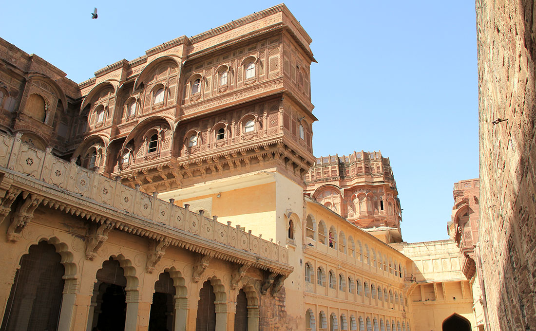
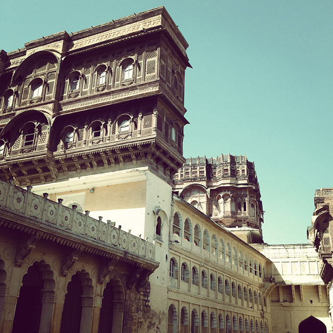
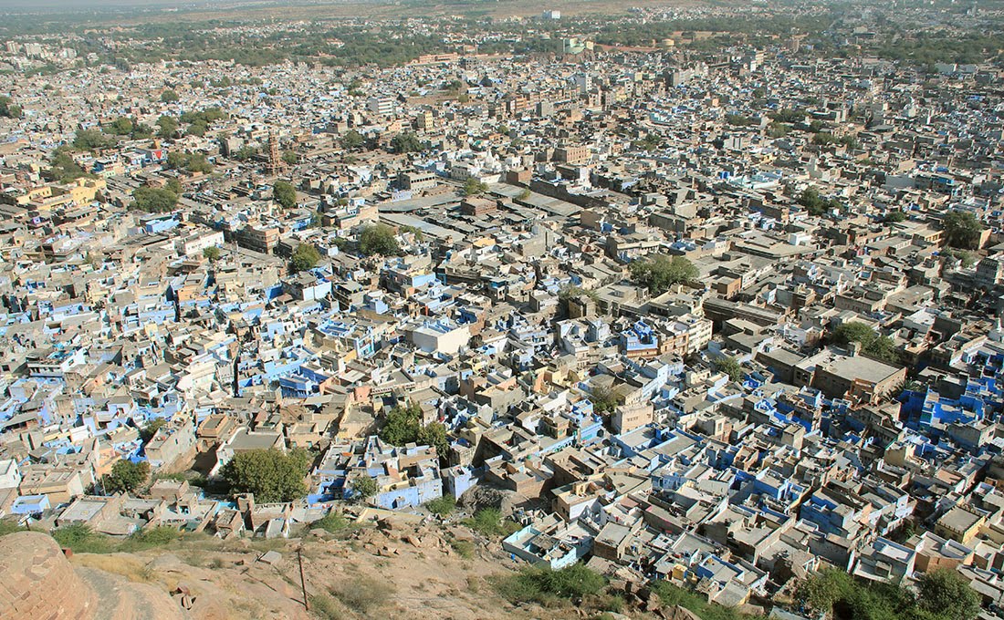 [Images: Overlooking Jodhpur, including the city’s many blue


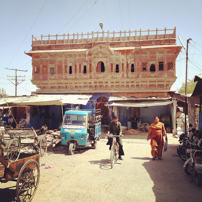
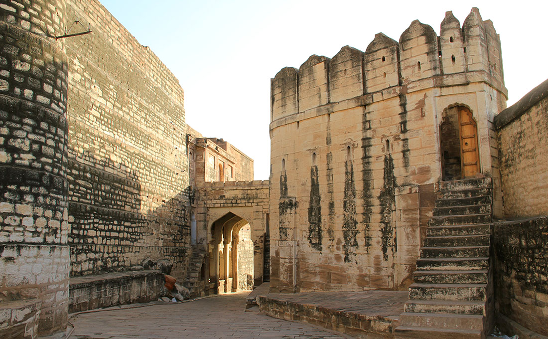
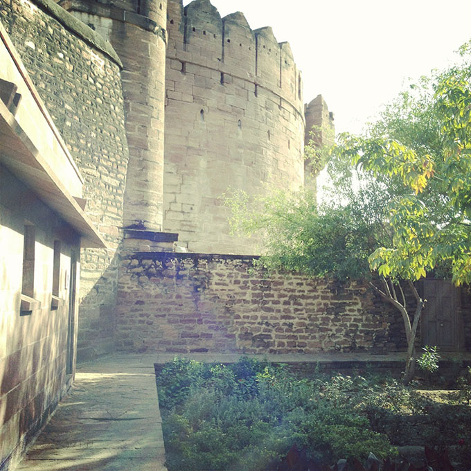
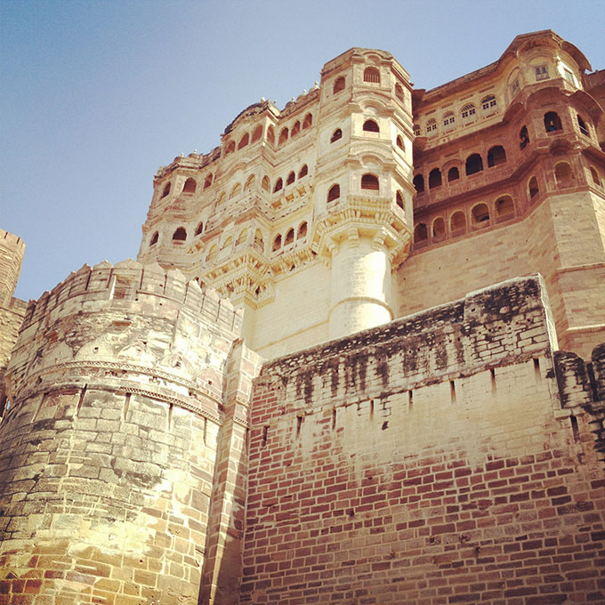
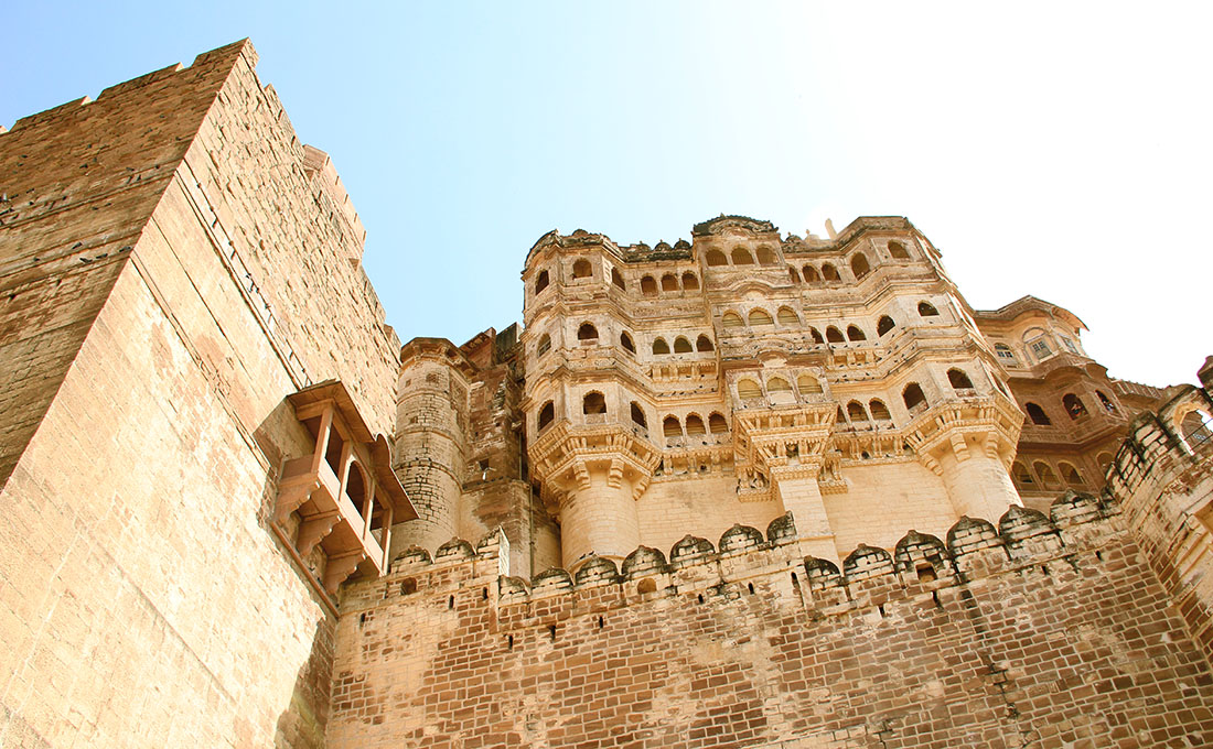
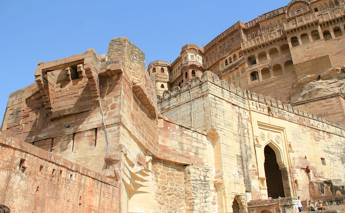
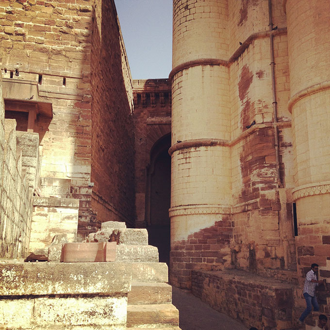
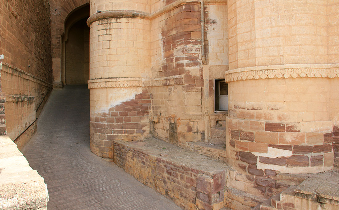
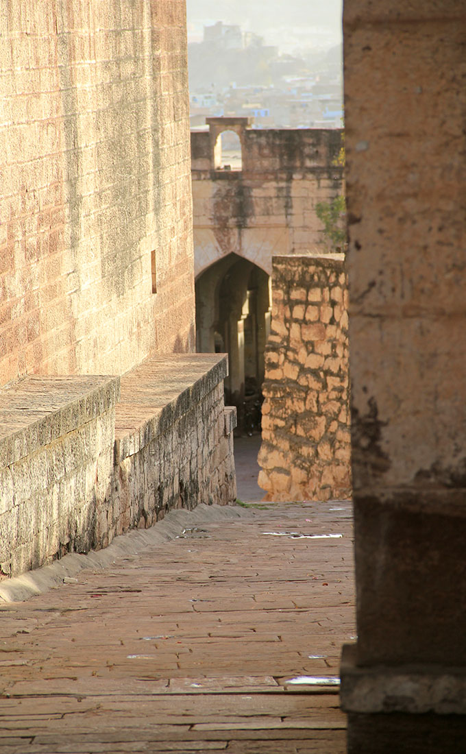
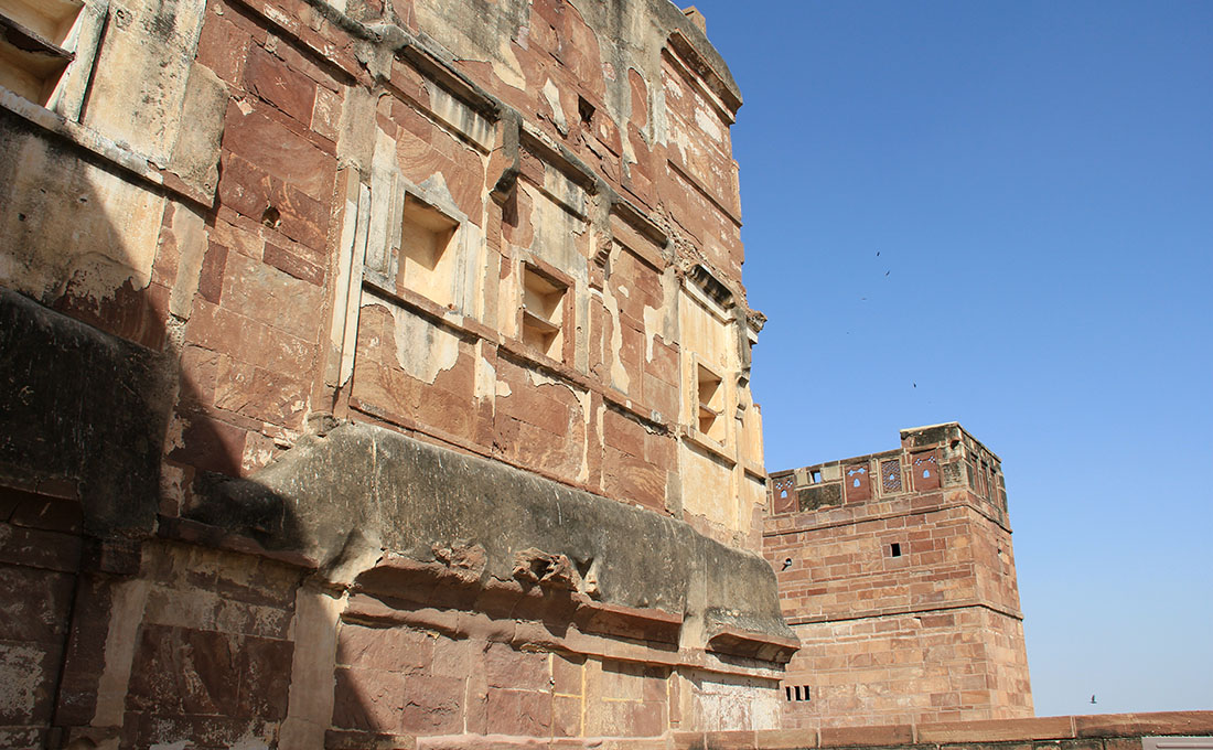
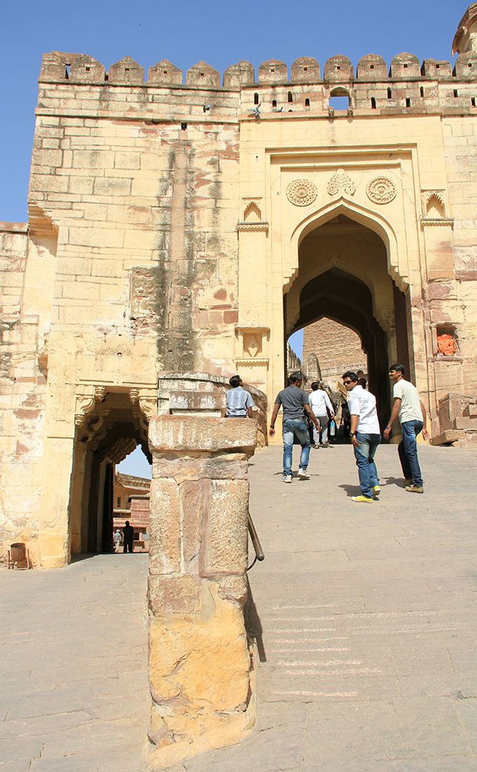
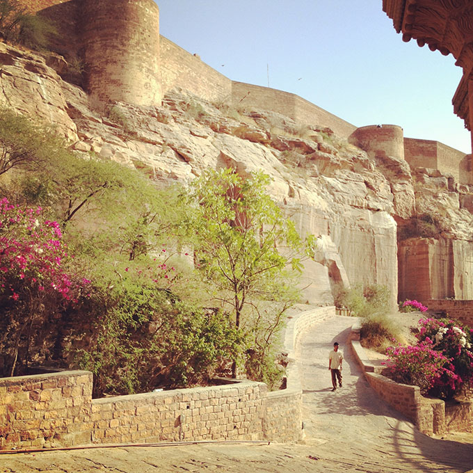
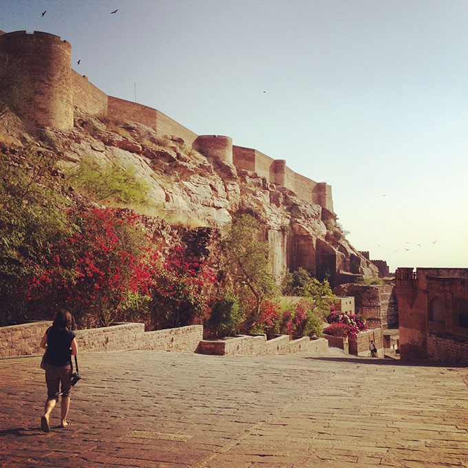
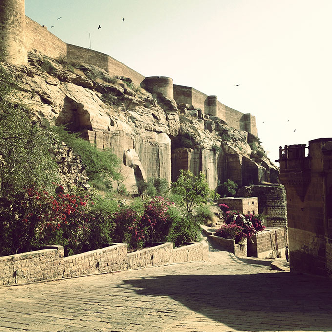
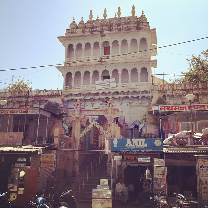 [Images: Walking around Jodhpur; photos by BLDGBLOG].
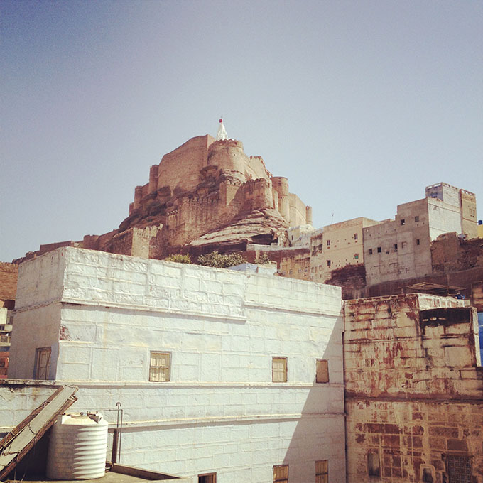 [Image:
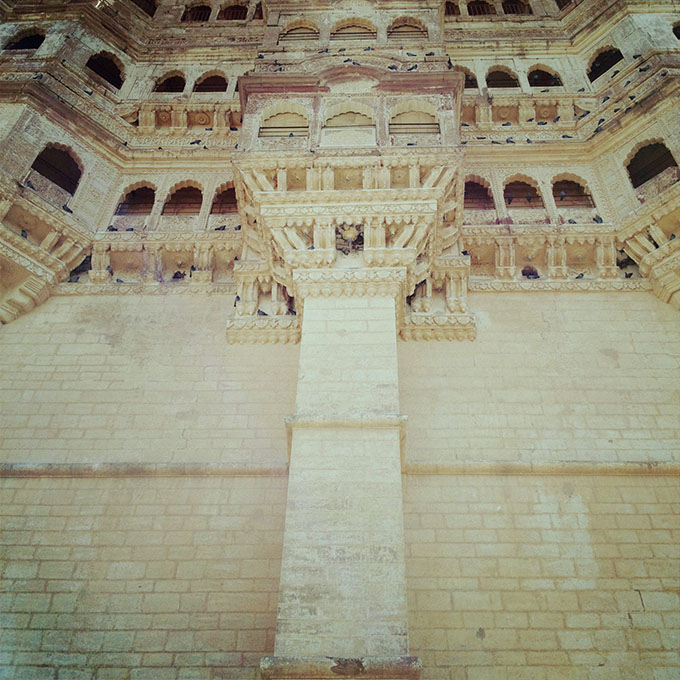
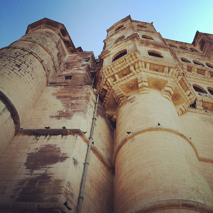
 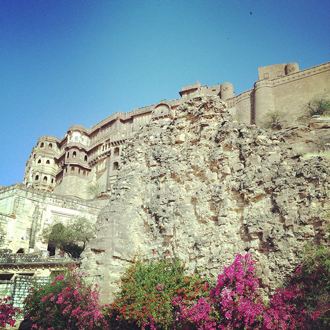 [Image: Birds flying over
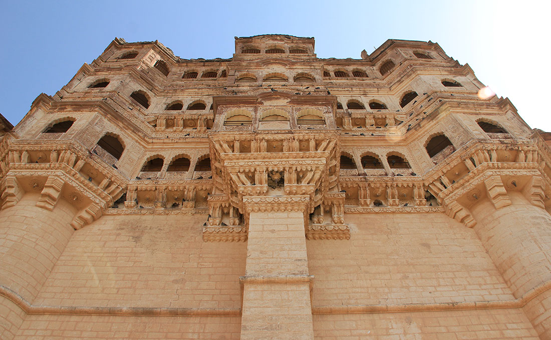
  [Image: Inside
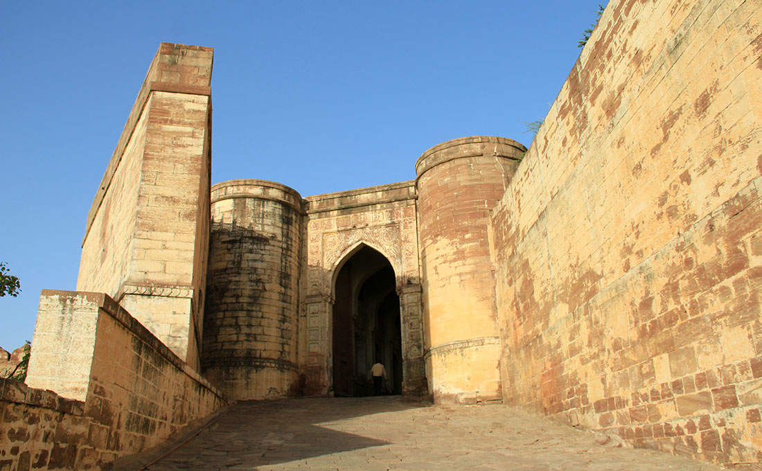
 [Images:
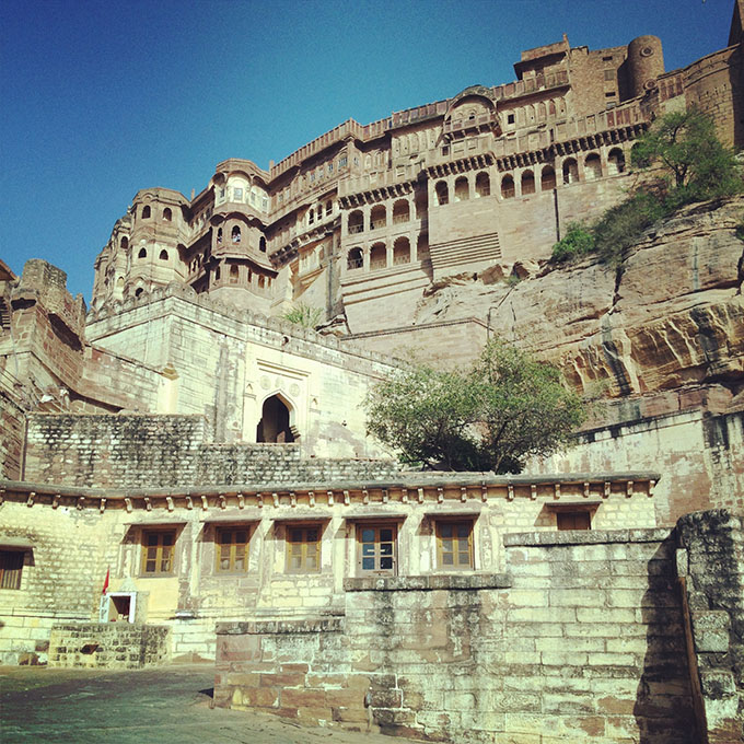


 [Images: