
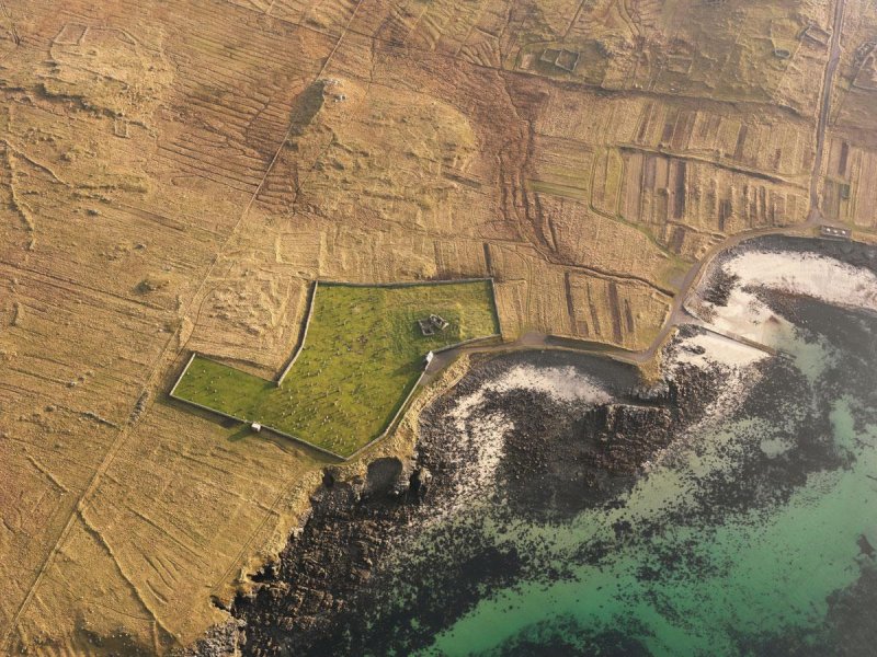
 [Image: Photo: The “cemetery and church at Teampull Eion, Isle of Lewis,” courtesy of the Royal Commission on the Ancient and Historical Monuments of Scotland].
One of many things I was excited to discover while working on the British Exploratory Land Archive project, and while getting ready for tonight’s lecture at the Architectural Association, is the “Scotland’s Landscapes” collection of aerial archaeology photographs from the Royal Commission on the Ancient and Historical Monuments of Scotland.

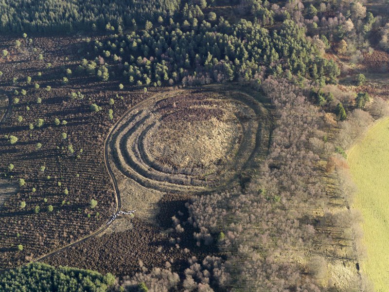 [Image: (top) The “remains of White Castle Fort“; (bottom) the “remains of the Northshield Rings.” Photos courtesy of the Royal Commission on the Ancient and Historical Monuments of Scotland].
“As the glaciers of the last Ice Age receded,” we read, “Scotland’s earliest ancestors ventured northwards, exploring a wild, fertile territory. Nomadic hunter-gatherers at first, they made the decision to stay for good—to farm and to build. From that moment on, people began to write their story firmly into the fabric of the landscape.” Indeed, today, “every inch of Scotland—whether remote hilltop, fertile floodplain, or storm-lashed coastline—has been shaped, changed and moulded by its people.”
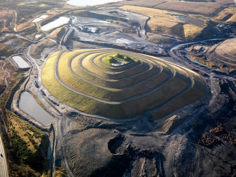 [Image: Photo: The (modernday) “Fife Earth Project at St. Ninian’s Open Cast Site,” courtesy of the Royal Commission on the Ancient and Historical Monuments of Scotland].
Quoting at length:
The landscapes they lived on were remarkable in their diversity. Vast forests of pine and birch ran through one of the world’s oldest mountain ranges—once as high as the Himalayas but over millennia scoured and compressed by sheets of ice a mile thick. On hundreds of islands around a saw-edged coastline, communities flourished, linked to each other and the wider world by the sea, the transport superhighway of ancient times.
Many of the resulting settlements have the appearance of inland islands, isolated shapes and ringed perimeters still visible from the air.
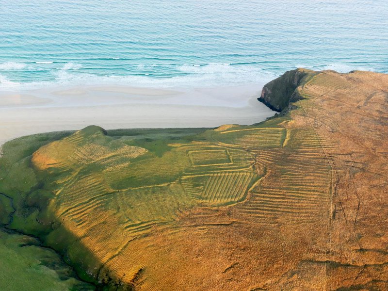 [Image: Photo: The “remains of the lazy beds and enclosures at Muidhe on the Isle of Skye,” courtesy of the Royal Commission on the Ancient and Historical Monuments of Scotland].
In any case, here are some of the photos—just a random selection of eye-candy for a Thursday afternoon.
 [Images: Aerial view of Lochindorb Castle, courtesy of the Royal Commission on the Ancient and Historical Monuments of Scotland].
Meanwhile, these and many other photos are available in a new book by James Crawford, called Scotland’s Landscapes: The National Collection of Aerial Photography, and you can see more online here.